Zone 1
Zone 1 is a parking area in Quebec City, Capitale-Nationale, Quebec. Zone 1 is situated nearby to the university building Pavillon Jeanne-Lapointe, as well as near Pavillon La Laurentienne.| Tap on a place to explore it |
Places of Interest Nearby
Highlights include Pavillon Jean-Charles-Bonenfant and Pavillon Jeanne-Lapointe.
Pavillon Jean-Charles-Bonenfant
Library
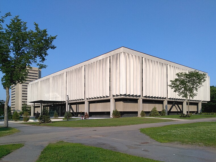
Photo: Cephas, CC BY-SA 4.0.
Pavillon Jean-Charles-Bonenfant is a library, which is situated 220 metres south of Zone 1.
Pavillon Jeanne-Lapointe
University building

Photo: Cephas, CC BY-SA 4.0.
Pavillon Jeanne-Lapointe is an university building.
Pavillon La Laurentienne
University building

Photo: Cephas, CC BY-SA 4.0.
Pavillon La Laurentienne is an university building.
Places in the Area
Nearby places include Sainte-Foy and Plains of Abraham.
Sainte-Foy
Suburb

Photo: Harfang, Public domain.
Sainte-Foy is a former city in central Quebec, Canada alongside the Saint Lawrence River. It was amalgamated into Quebec City at the start of 2002. Most of the formerly independent municipality of Sainte-Foy is located in the borough of Sainte-Foy–Sillery–Cap-Rouge—initially as one of the two constituent districts of the former borough of Sainte-Foy–Sillery.
Plains of Abraham
Locality

Photo: NickHam, CC BY-SA 3.0.
The Plains of Abraham is a historic area within the Battlefields Park in Quebec City, Quebec, Canada. It was established on 17 March 1908. The land is the site of the Battle of the Plains of Abraham, which took place on 13 September 1759, but hundreds of acres of the fields became used for grazing, housing, and minor industrial structures. Plains of Abraham is situated 4 km northeast of Zone 1.
Saint-Romuald
Suburb

Photo: Bourgoinjp, CC BY-SA 3.0.
Saint-Romuald is a district within the Les Chutes-de-la-Chaudière-Est borough of Lévis, Quebec, Canada, located on the south shore of the Saint Lawrence River across from Quebec City. Saint-Romuald is situated 4 km southeast of Zone 1.
Zone 1
- Type: Parking area
- Parking: surface
- Category: transportation
- Location: Quebec City, Capitale-Nationale, Quebec, Canada, North America
- View on OpenStreetMap
Latitude
46.78207° or 46° 46′ 56″ northLongitude
-71.2727° or 71° 16′ 22″ westOpen location code
87RCQPJG+RWOpenStreetMap ID
way 163519757OpenStreetMap feature
amenity=parkingOpenStreetMap attribute
parking=surface
This page is based on OpenStreetMap, Wikidata, and Wikimedia Commons.
We’d love your help improving our open data sources. Thank you for contributing.
Satellite Map
Discover Zone 1 from above in high-definition satellite imagery.
Places with the Same Name
Discover other places named “Zone 1”.
Notable Places Nearby
Highlights include Pavillon J.-A.-DeSève and Pavillon Félix-Antoine-Savard.
Nearby Places
Explore places such as Station Bibliothèques and Bibliothèques.
Quebec: Must-Visit Destinations
Delve into Montreal, Gaspé, Percé, and La Tuque.
Curious Parking Areas to Discover
Uncover intriguing parking areas from every corner of the globe.
About Mapcarta. Data © OpenStreetMap contributors and available under the Open Database License". Text is available under the CC BY-SA 4.0 license, except for photos, directions, and the map. Photo: S23678, CC BY-SA 3.0.