Flat Iron Shoreditch
Flat Iron Shoreditch is a restaurant in Hackney, Greater London, England which is located on Curtain Road. Flat Iron Shoreditch is situated nearby to London College of Fashion, as well as near the art gallery Pure Evil Gallery.| Tap on a place to explore it |
- Type: Restaurant
- Cuisine: steak house
- Address: 77 Curtain Road, London, EC2A 3BS
Places of Interest Nearby
Highlights include Royal Drawing School and The King’s Foundation School of Traditional Arts.
Royal Drawing School
College

Photo: Jwslubbock, CC BY-SA 4.0.
The Royal Drawing School is a not-for-profit educational organisation and registered charity in Shoreditch, in the London Borough of Hackney, England. It was founded in 2000 by King Charles III and artist Catherine Goodman as The Prince's Drawing School and received its current name in 2014.
The King’s Foundation School of Traditional Arts
College

Photo: Jwslubbock, CC BY-SA 4.0.
The King's Foundation School of Traditional Arts is a school in London that teaches students at the postgraduate degree level, through short open courses and in the community. The King’s Foundation School of Traditional Arts is situated 340 feet northwest of Flat Iron Shoreditch.
The Tower of London

Photo: Aniacra, CC BY-SA 4.0.
The Tower of London, officially His Majesty's Royal Palace and Fortress of the Tower of London, is a historic citadel and castle on the north bank of the River Thames in London, England. The Tower of London is situated 1¼ miles south of Flat Iron Shoreditch.
Places in the Area
Nearby places include Shoreditch and Boundary Estate.
Shoreditch
Suburb

Photo: Tarquin Binary, Public domain.
Shoreditch is an area in London, England and is located in the London Borough of Hackney alongside neighbouring parts of Tower Hamlets, which are also perceived as part of the area due to historic ecclesiastical links.
Boundary Estate
Neighborhood

Photo: Rodney Burton, CC BY-SA 2.0.
The Boundary Estate is a housing development in the London Borough of Tower Hamlets, in the East End of London. The estate, constructed from 1890, was one of the earliest social housing schemes built by a local government authority.
Spitalfields
Quarter
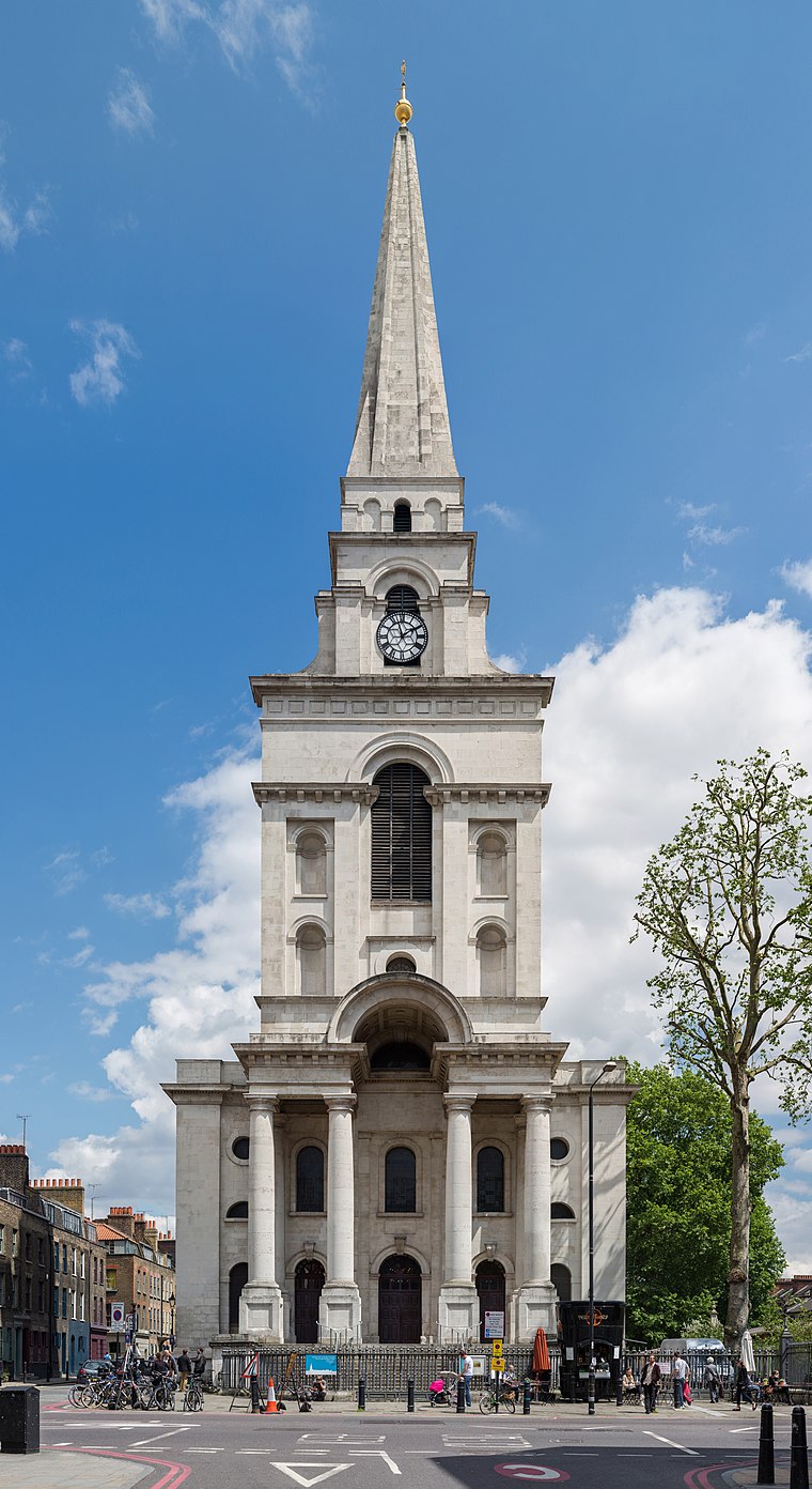
Photo: Diliff, CC BY-SA 3.0.
Spitalfields is an area in London, England and is located in the London Borough of Tower Hamlets. It is in East London and situated in the East End. Spitalfields is formed around Commercial Street and Brick Lane.
Flat Iron Shoreditch
- Categories: building and food
- Location: Hackney, Greater London, London, England, United Kingdom, Britain and Ireland, Europe
- View on OpenStreetMap
Latitude
51.52495° or 51° 31′ 30″ northLongitude
-0.08063° or 0° 4′ 50″ westBranch
ShoreditchBrand
Flat IronOpen location code
9C3XGWF9+XPOpenStreetMap ID
way 164241760OpenStreetMap feature
amenity=restaurantOpenStreetMap feature
building=yesOpenStreetMap attribute
cuisine=steak_house
This page is based on OpenStreetMap, Wikidata, and Wikimedia Commons.
We’d love your help improving our open data sources. Thank you for contributing.
Satellite Map
Discover Flat Iron Shoreditch from above in high-definition satellite imagery.
Notable Places Nearby
Highlights include London College of Fashion and Pure Evil Gallery.
Nearby Places
Explore places such as Iron Bloom Events and Dexters.
London: Must-Visit Destinations
Delve into South Kensington-Chelsea, Heathrow Airport, City of London, and Westminster.
Curious Restaurants to Discover
Uncover intriguing restaurants from every corner of the globe.
About Mapcarta. Data © OpenStreetMap contributors and available under the Open Database License". Text is available under the CC BY-SA 4.0 license, except for photos, directions, and the map. Photo: Laurencefwhite, CC BY 2.5.