KiwiBeet
KiwiBeet is a farm in Hamburg, Hamburg. KiwiBeet is situated nearby to the playground Bauspielplatz Tweeltenmoor, as well as near the community center Haus der Jugend Kiwittsmoor.| Tap on a place to explore it |
Places of Interest Nearby
Highlights include St. Jürgen and Kiwittsmoor station.
St. Jürgen
Church

Photo: Rmw73, CC BY-SA 3.0.
St. Jürgen is a church, which is situated 410 metres west of KiwiBeet.
Kiwittsmoor station
Metro station

Photo: Rmw73, CC BY-SA 3.0.
Kiwittsmoor is a station on the Hamburg U-Bahn line U1. It was opened in May 1960 and is located in Hamburg, Germany, in the quarter of Langenhorn. Langenhorn is part of the borough of Hamburg-Nord. Kiwittsmoor station is situated 560 metres southwest of KiwiBeet.
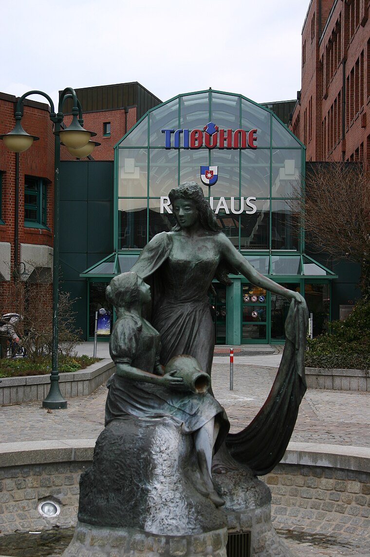
Großer Schreitender
Work of art

Photo: Minderbinder, CC BY-SA 4.0.
Großer Schreitender is a work of art, which is situated 1 km south of KiwiBeet.
Places in the Area
Nearby places include Langenhorn and Norderstedt.
Langenhorn
Suburb

Photo: Wikimedia, Public domain.
Langenhorn is a quarter in the borough Hamburg-Nord of Hamburg, Germany. In 2020 the population was 46,272.
Norderstedt
Town
 Norderstedt is a city in Germany and part of the Hamburg Metropolitan Region, the fourth largest city in the federal state of Schleswig-Holstein, belonging to the Segeberg district. Norderstedt is situated 4 km northwest of KiwiBeet.
Poppenbüttel
Suburb

Photo: Wikimedia, Public domain.
Poppenbüttel is a quarter in the borough Wandsbek of Hamburg, Germany. In 2020 the population was 24,135. Poppenbüttel is situated 4 km southeast of KiwiBeet.
KiwiBeet
- Type: Farm
- Category: agriculture
- Location: Hamburg, Hamburg, Freie und Hansestadt, Hamburg, Germany, Central Europe, Europe
- View on OpenStreetMap
Latitude
53.67841° or 53° 40′ 42″ northLongitude
10.02241° or 10° 1′ 21″ eastOpen location code
9F5GM2HC+9XOpenStreetMap ID
way 165583657OpenStreetMap feature
landuse=farmyard
This page is based on OpenStreetMap, Wikidata, and Wikimedia Commons.
We’d love your help improving our open data sources. Thank you for contributing.
Satellite Map
Discover KiwiBeet from above in high-definition satellite imagery.
Notable Places Nearby
Highlights include Bauspielplatz Tweeltenmoor and Haus der Jugend Kiwittsmoor.
Nearby Places
Explore places such as Studierendenwohnheim Kiwittsmoor and Kita ‘Kinderhaus Zweistein’.
Hamburg: Must-Visit Destinations
Delve into Altona-St. Pauli, Neustadt-Altstadt, East Hamburg, and North Hamburg.
Curious Farms to Discover
Uncover intriguing farms from every corner of the globe.
About Mapcarta. Data © OpenStreetMap contributors and available under the Open Database License". Text is available under the CC BY-SA 4.0 license, except for photos, directions, and the map. Photo: Joerg Moellenkamp, CC BY 2.0.