Kleingartenanlage Stadtkoppel I-III
Kleingartenanlage Stadtkoppel I-III is an allotment garden in Itzehoe, Steinburg, Schleswig-Holstein. Kleingartenanlage Stadtkoppel I-III is situated nearby to the sports venue clever fit, as well as near Gutenberg-Sporthalle.| Tap on a place to explore it |
Places of Interest Nearby
Highlights include Bismarck Tower and Prinzesshof.
Bismarck Tower
Scenic viewpoint

Photo: C.Löser, CC BY 3.0 de.
Bismarck Tower is a scenic viewpoint, which is situated 1¼ km north of Kleingartenanlage Stadtkoppel I-III.
Prinzesshof
Museum
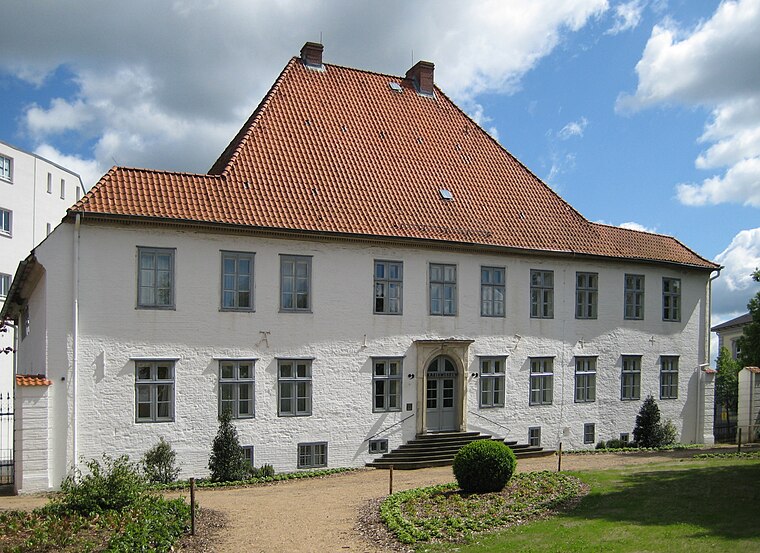
Photo: Nightflyer, CC BY 3.0.
Prinzesshof is a museum, which is situated 1½ km west of Kleingartenanlage Stadtkoppel I-III.
Große Tonkuhle

Photo: C.Löser, CC BY 3.0 de.
Große Tonkuhle is situated 660 metres northwest of Kleingartenanlage Stadtkoppel I-III.
Places in the Area
Nearby places include Münsterdorf and Lägerdorf.
Münsterdorf
Village
 Münsterdorf is a municipality in the district of Steinburg, in Schleswig-Holstein, Germany. Münsterdorf is situated 2½ km south of Kleingartenanlage Stadtkoppel I-III.
Lägerdorf
Village
 Lägerdorf is a municipality in the district of Steinburg, in Schleswig-Holstein, Germany. Lägerdorf is situated 5 km southeast of Kleingartenanlage Stadtkoppel I-III.
Moordorf
Hamlet

Photo: Southgeist, CC BY-SA 2.0.
Moordorf is a former municipality in the district of Steinburg, in Schleswig-Holstein, Germany. On March 1, 2008 Moordorf was incorporated into Westermoor. Moordorf is situated 6 km southeast of Kleingartenanlage Stadtkoppel I-III.
Kleingartenanlage Stadtkoppel I-III
- Type: Allotment garden
- Location: Itzehoe, Steinburg, South Holstein, Schleswig-Holstein, Germany, Central Europe, Europe
- View on OpenStreetMap
Latitude
53.92555° or 53° 55′ 32″ northLongitude
9.53964° or 9° 32′ 23″ eastOperator
Kleingärtnerverein Itzehoe e. V.Open location code
9F5FWGGQ+6VOpenStreetMap ID
way 172552222OpenStreetMap feature
landuse=allotments
This page is based on OpenStreetMap, Wikidata, and Wikimedia Commons.
We’d love your help improving our open data sources. Thank you for contributing.
Satellite Map
Discover Kleingartenanlage Stadtkoppel I-III from above in high-definition satellite imagery.
Notable Places Nearby
Highlights include clever fit and Gutenberg-Sporthalle.
Nearby Places
Explore places such as Bargkoppel and Kratt II.
South Holstein: Must-Visit Destinations
Delve into Neumünster, Wedel, Glückstadt, and Bad Segeberg.
Curious Allotment Gardens to Discover
Uncover intriguing allotment gardens from every corner of the globe.
About Mapcarta. Data © OpenStreetMap contributors and available under the Open Database License". Text is available under the CC BY-SA 4.0 license, except for photos, directions, and the map. Photo: C.Löser, CC BY 3.0 de.