Anciens bassins de décantation
Anciens bassins de décantation is a building in Mons, Hainaut, Wallonia. Anciens bassins de décantation is situated nearby to the peak Terril du Levant, as well as near the pitch Domaine du Levant.| Tap on a place to explore it |
Places of Interest Nearby
Highlights include Maison Van Gogh and Jemappes Communal Cemetery.
Maison Van Gogh
Museum

Photo: Jean-Pol GRANDMONT, CC BY 3.0.
Maison Van Gogh is a small historic house museum located in Cuesmes, near Mons, in Belgium associated with the Dutch artist Vincent van Gogh. As a young man, Van Gogh pursued a career as a Protestant preacher and evangelist among coal miners in the Borinage between 1878 and 1880. Maison Van Gogh is situated 1½ km east of Anciens bassins de décantation.
Jemappes Communal Cemetery
Cemetery

Photo: Wernervc, CC BY-SA 4.0.
Jemappes Communal Cemetery is situated 1 km northwest of Anciens bassins de décantation.
Cuesmes Communal Cemetery
Cemetery

Photo: Wernervc, CC BY-SA 4.0.
Cuesmes Communal Cemetery is situated 1 km east of Anciens bassins de décantation.
Places in the Area
Nearby places include Flénu and Cuesmes.
Flénu
Village
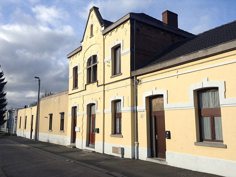
Photo: Anandali, CC BY-SA 3.0.
Flénu is a sub-municipality of the city of Mons located in the province of Hainaut, Wallonia, Belgium. The municipality of Flénu was formed on 8 June 1870, when it was detached from the municipality of Jemappes.
Cuesmes
Village

Photo: Jean-Pol GRANDMONT, CC BY-SA 3.0.
Cuesmes is a sub-municipality of the city of Mons located in the province of Hainaut, Wallonia, Belgium. It was a separate municipality until 1972. On 1 January 1972, it was merged into Mons.
Jemappes
Village

Photo: Jean-Pol GRANDMONT, CC BY 3.0.
Jemappes is a sub-municipality of the city of Mons located in the province of Hainaut, Wallonia, Belgium. It was a separate municipality until 1977. On 8 June 1870, Flénu was detached from Jemappes, and was later merged into Jemappes in 1971.
Anciens bassins de décantation
- Type: Building
- Location: Mons, Arrondissement of Mons, Hainaut, Wallonia, Belgium, Benelux, Europe
- View on OpenStreetMap
Latitude
50.43727° or 50° 26′ 14″ northLongitude
3.90449° or 3° 54′ 16″ eastOpen location code
9F25CWP3+WQOpenStreetMap ID
way 173670918OpenStreetMap feature
building=yes
This page is based on OpenStreetMap, Wikidata, and Wikimedia Commons.
We’d love your help improving our open data sources. Thank you for contributing.
Satellite Map
Discover Anciens bassins de décantation from above in high-definition satellite imagery.
Notable Places Nearby
Highlights include Terril du Levant and Domaine du Levant.
Nearby Places
Explore places such as Ancien silo du lavoir and Ancienne mise à terril.
Hainaut: Must-Visit Destinations
Delve into Charleroi, Tournai, La Louvière, and Binche.
Curious Buildings to Discover
Uncover intriguing buildings from every corner of the globe.
About Mapcarta. Data © OpenStreetMap contributors and available under the Open Database License". Text is available under the CC BY-SA 4.0 license, except for photos, directions, and the map. Photo: Jean-Pol GRANDMONT, CC BY-SA 3.0.