Fronleitenhof
Fronleitenhof is a farm in Krumbach, Wiener Neustadt District, Lower Austria. Fronleitenhof is situated nearby to the forest Glanzenriegel, as well as near the golf course Driving Range Bad Schönau.| Tap on a place to explore it |
Places of Interest Nearby
Highlights include Bürgerspital and Museumsdorf Krumbach.
Bürgerspital
Historic building

Photo: Hundsstern, CC BY-SA 3.0 at.
Bürgerspital is a historic building, which is situated 2 km northwest of Fronleitenhof.
Museumsdorf Krumbach
Museum

Photo: Hundsstern, CC BY-SA 3.0 at.
Museumsdorf Krumbach is situated 2 km northwest of Fronleitenhof.
Erasmuskirche
Church

Photo: Steindy, CC BY-SA 3.0.
Erasmuskirche is a church, which is situated 2 km northwest of Fronleitenhof.
Places in the Area
Nearby places include Stuben and Redlschlag.
Stuben
Village
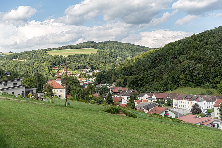
Photo: Tsui, CC BY-SA 4.0.
Stuben is a village, which is situated 9 km south of Fronleitenhof.
Redlschlag
Village

Photo: Steindy, CC BY-SA 2.0 de.
Redlschlag is a village, which is situated 9 km southeast of Fronleitenhof.
Kogl im Burgenland
Village

Photo: Nxr-at, CC BY-SA 4.0.
Kogl im Burgenland is a village, which is situated 9 km southeast of Fronleitenhof.
Fronleitenhof
- Type: Farm
- Category: agriculture
- Location: Krumbach, Wiener Neustadt District, Lower Austria, Austria, Central Europe, Europe
- View on OpenStreetMap
Latitude
47.50444° or 47° 30′ 16″ northLongitude
16.21383° or 16° 12′ 50″ eastOpen location code
8FVRG637+QGOpenStreetMap ID
way 173954136OpenStreetMap feature
landuse=farmyard
This page is based on OpenStreetMap, Wikidata, and Wikimedia Commons.
We’d love your help improving our open data sources. Thank you for contributing.
Satellite Map
Discover Fronleitenhof from above in high-definition satellite imagery.
Notable Places Nearby
Highlights include Glanzenriegel and Driving Range Bad Schönau.
Nearby Places
Explore places such as Gut Fronleitenhof and Gasthaus zur Sägemühle.
Lower Austria: Must-Visit Destinations
Delve into St. Pölten, Wiener Neustadt, Amstetten, and Klosterneuburg.
Curious Farms to Discover
Uncover intriguing farms from every corner of the globe.
About Mapcarta. Data © OpenStreetMap contributors and available under the Open Database License". Text is available under the CC BY-SA 4.0 license, except for photos, directions, and the map. Photo: Lonezor, CC BY-SA 3.0.