Brauseteich
Brauseteich is in Erlau, Mittelsachsen, Saxony. Brauseteich is situated nearby to the peak Rosinenberg, as well as near the village Naundorf.| Tap on a place to explore it |
Places of Interest Nearby
Highlights include Polish-Saxon Post Milestone Erlau and Station 99 Erlau.
Polish-Saxon Post Milestone Erlau
Historic site

Photo: Wikimedia, CC BY-SA 3.0.
Polish-Saxon Post Milestone Erlau is a historic site, which is situated 3 km southeast of Brauseteich.
Station 99 Erlau
Historic site
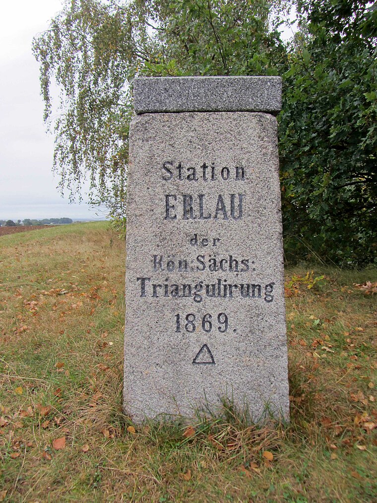
Photo: Wikimedia, CC BY-SA 3.0.
Station 99 Erlau is a historic site, which is situated 3½ km east of Brauseteich.
Places in the Area
Nearby places include Naundorf and Zetteritz.


Gröbschütz
Village

Photo: Aagnverglaser, CC BY-SA 4.0.
Gröbschütz is a village, which is situated 3 km northwest of Brauseteich.
Brauseteich
- Type: Body of water
- Location: Erlau, Mittelsachsen, Saxony, Germany, Central Europe, Europe
- View on OpenStreetMap
Latitude
51.02118° or 51° 1′ 16″ northLongitude
12.89138° or 12° 53′ 29″ eastOpen location code
9F3J2VCR+FHOpenStreetMap ID
way 175396968OpenStreetMap feature
natural=water
This page is based on OpenStreetMap, Wikidata, and Wikimedia Commons.
We’d love your help improving our open data sources. Thank you for contributing.
Satellite Map
Discover Brauseteich from above in high-definition satellite imagery.
Notable Places Nearby
Highlights include Rosinenberg and St. Leonhardskapelle Gepülzig.
Nearby Places
Explore places such as Mittelteich and Großteich.
Saxony: Must-Visit Destinations
Delve into Dresden, Leipzig, Chemnitz, and Meißen.
Curious Places to Discover
Uncover intriguing places from every corner of the globe.
About Mapcarta. Data © OpenStreetMap contributors and available under the Open Database License". Text is available under the CC BY-SA 4.0 license, except for photos, directions, and the map. Photo: Taxiarchos228, FAL.