Piazzale Karl Von Czoernig
Piazzale Karl Von Czoernig is a parking area in Gorizia, Friuli-Venezia Giulia. Piazzale Karl Von Czoernig is situated nearby to the park Area di Sgambamento cani, as well as near Parco Jolanda Pisani.| Tap on a place to explore it |
Places of Interest Nearby
Highlights include Gorizia Centrale railway station and Gorizia’s cathedral.
Gorizia Centrale railway station
Railway station

Photo: Marmolada48, CC0.
Gorizia Centrale railway station is the main station serving the town and comune of Gorizia, in the autonomous region of Friuli-Venezia Giulia, northeastern Italy. Gorizia Centrale railway station is situated 1 km northwest of Piazzale Karl Von Czoernig.
Gorizia’s cathedral
Church
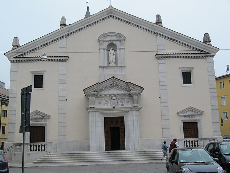
Photo: Limonadis, Public domain.
Gorizia’s cathedral is a church, which is situated 1½ km north of Piazzale Karl Von Czoernig.
Sant’Andrea Apostolo
Church

Photo: T137, CC BY-SA 3.0.
Sant’Andrea Apostolo is a church, which is situated 1¼ km southwest of Piazzale Karl Von Czoernig.
Places in the Area
Nearby places include Sant‘ Andrea and Šempeter pri Gorici.

Šempeter pri Gorici
Town

Photo: T137, CC BY-SA 3.0.
Šempeter pri Gorici is a town and the administrative seat of the Municipality of Šempeter-Vrtojba in the Slovene Littoral region of Slovenia. There is a border crossing into the Italian town of Gorizia.
Vrtojba
Village
Photo: T137, CC BY-SA 3.0.
Vrtojba is a settlement in the Municipality of Šempeter-Vrtojba in the Slovene Littoral region of Slovenia. A border crossing into Italy is located here.
Piazzale Karl Von Czoernig
- Type: Parking area
- Parking: surface
- Category: transportation
- Location: Gorizia, Gorizia, Friuli-Venezia Giulia, Northeast Italy, Italy, Europe
- View on OpenStreetMap
Latitude
45.92919° or 45° 55′ 45″ northLongitude
13.61735° or 13° 37′ 3″ eastOpen location code
8FQMWJH8+MWOpenStreetMap ID
way 179308299OpenStreetMap feature
amenity=parkingOpenStreetMap attribute
parking=surface
This page is based on OpenStreetMap, Wikidata, and Wikimedia Commons.
We’d love your help improving our open data sources. Thank you for contributing.
Satellite Map
Discover Piazzale Karl Von Czoernig from above in high-definition satellite imagery.
Notable Places Nearby
Highlights include Area di Sgambamento cani and Parco Jolanda Pisani.
Nearby Places
Explore places such as Conad and Via Garzarolli (parco Pisani).
Friuli-Venezia Giulia: Must-Visit Destinations
Delve into Trieste, Udine, Aquileia, and Pordenone.
Curious Parking Areas to Discover
Uncover intriguing parking areas from every corner of the globe.
About Mapcarta. Data © OpenStreetMap contributors and available under the Open Database License". Text is available under the CC BY-SA 4.0 license, except for photos, directions, and the map. Photo: T137, CC BY-SA 3.0.