Gemeindeamt Regelsbrunn
Gemeindeamt Regelsbrunn is a town hall in Scharndorf, Bruck an der Leitha District, Lower Austria which is located on Bauernzeile. Gemeindeamt Regelsbrunn is situated nearby to the police station Polizeiinspektion Regelsbrunn, as well as near the church Hl. Jakob der Ältere.| Tap on a place to explore it |
Places of Interest Nearby
Highlights include St. Nikolaus (Wildungsmauer) and Türkenstein.
St. Nikolaus (Wildungsmauer)
Church

Photo: Robert Heilinger, CC BY-SA 3.0.
St. Nikolaus (Wildungsmauer) is a church, which is situated 2 km east of Gemeindeamt Regelsbrunn.
Türkenstein
Wayside shrine

Photo: Robert Heilinger, CC BY-SA 3.0.
Türkenstein is a wayside shrine, which is situated 2½ km southeast of Gemeindeamt Regelsbrunn.
Pfarrkirche Eckartsau
Church

Photo: Bwag, CC BY-SA 4.0.
Pfarrkirche Eckartsau is a church, which is situated 4 km north of Gemeindeamt Regelsbrunn.
Places in the Area
Nearby places include Höflein and Rohrau.
Höflein
Village
Höflein is a town in the district of Bruck an der Leitha in Lower Austria in Austria. Höflein is situated 4½ km south of Gemeindeamt Regelsbrunn.
Rohrau
Village
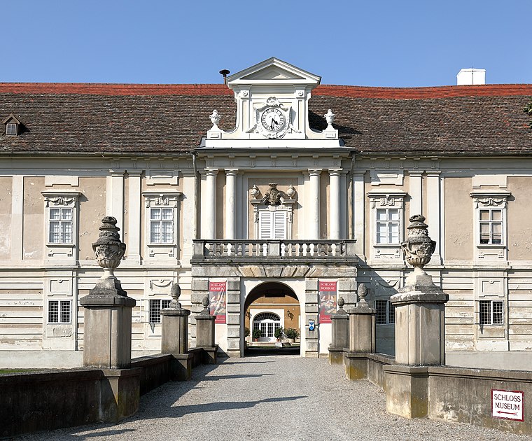
Photo: Bwag, CC BY-SA 4.0.
Rohrau is a village in the state of Lower Austria. The name comes from two German words: Rohr and Au. South of the village is a riparian forest and a swamp covered with reed. Rohrau is situated 8 km southeast of Gemeindeamt Regelsbrunn.
Bad Deutsch-Altenburg
Village

Photo: Corradox, CC BY-SA 3.0.
Bad Deutsch-Altenburg, until 1928 Deutsch-Altenburg is a market town and spa in the district of Bruck an der Leitha in Lower Austria in Austria. Bad Deutsch-Altenburg is situated 10 km east of Gemeindeamt Regelsbrunn.
Gemeindeamt Regelsbrunn
- Type: Town hall
- Address: Bauernzeile 2, Regelsbrunn, 2403
- Categories: building, public building, and government building
- Location: Scharndorf, Bruck an der Leitha District, Lower Austria, Austria, Central Europe, Europe
- View on OpenStreetMap
Latitude
48.10918° or 48° 6′ 33″ northLongitude
16.77968° or 16° 46′ 47″ eastOpen location code
8FWR4Q5H+MVOpenStreetMap ID
way 181700942OpenStreetMap feature
amenity=townhallOpenStreetMap feature
building=civic
This page is based on OpenStreetMap, Wikidata, and Wikimedia Commons.
We’d love your help improving our open data sources. Thank you for contributing.
Satellite Map
Discover Gemeindeamt Regelsbrunn from above in high-definition satellite imagery.
Notable Places Nearby
Highlights include Polizeiinspektion Regelsbrunn and Hl. Jakob der Ältere.
Nearby Places
Explore places such as TST Regelsbrunn Mitte and Regelsbrunn Hainburger Straße.
Lower Austria: Must-Visit Destinations
Delve into St. Pölten, Wiener Neustadt, Amstetten, and Klosterneuburg.
Curious Town Halls to Discover
Uncover intriguing town halls from every corner of the globe.
About Mapcarta. Data © OpenStreetMap contributors and available under the Open Database License". Text is available under the CC BY-SA 4.0 license, except for photos, directions, and the map. Photo: Lonezor, CC BY-SA 3.0.