Stapleton Tavern
Stapleton Tavern is a pub in Islington, Greater London, England which is located on Crouch Hill. Stapleton Tavern is situated nearby to the health club LeveOut, as well as near Crouch Hill railway station.| Tap on a place to explore it |
- Opening hours:
Monday—Thursday: 4:00 PM—11:00 PM
Friday: 2:00 PM—midnight
Saturday: noon—midnight
Sunday: noon—10:00 PM - Email: stapleton@anticlondon.com
- Type: Pub
- Also known as: “The Larrik” and “The Stapleton Tavern”
- Address: 2 Crouch Hill, Islington, London, N4 4AU
- Wheelchair access: yes
Places of Interest Nearby
Highlights include Crouch Hill railway station and Arsenal FC.
Crouch Hill railway station
Railway station

Photo: Sunil060902, CC BY-SA 3.0.
Crouch Hill is a station on the Suffragette line of the London Overground, located on Crouch Hill in the London Borough of Islington, north London. It is 3.8 miles from St Pancras and is situated between Upper Holloway and Harringay Green Lanes. Crouch Hill railway station is situated 400 feet northwest of Stapleton Tavern.
Arsenal FC
Stadium

Photo: Arne mueseler, CC BY-SA 3.0 de.
The Emirates Stadium is a football stadium in Holloway, London, England. It has been the home stadium of Arsenal Football Club since its completion in 2006. Arsenal FC is situated 1¼ miles south of Stapleton Tavern.
St Saviour’s Church
Church

Photo: Wikimedia, CC BY-SA 2.0.
St Saviour’s Church is situated 620 feet southwest of Stapleton Tavern.
Places in the Area
Nearby places include Stroud Green and Andover Estate.
Stroud Green
Suburb
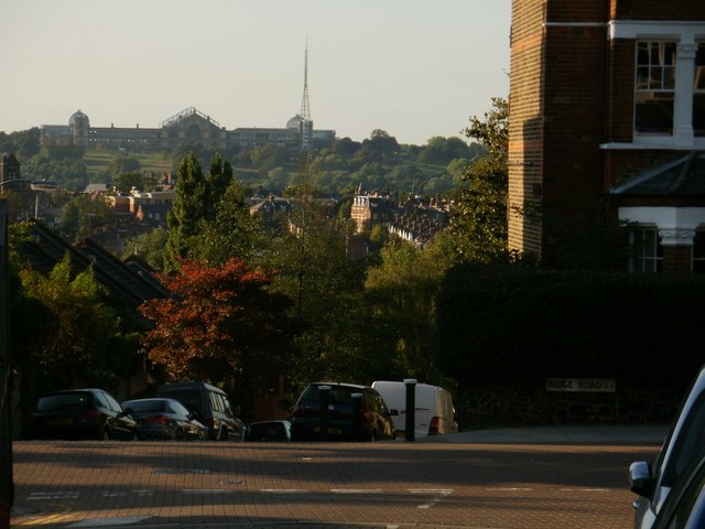
Photo: Peter Smyly, CC BY-SA 2.0.
Stroud Green is a suburb and electoral ward in north London, England, split between the London boroughs of Haringey and Islington. On its south-western side, Stroud Green Road forms part of the boundary between the two boroughs.
Andover Estate
Neighborhood
The Andover Estate, in Holloway, North London, is a large Islington London Borough Council housing estate which is flanked by Hornsey Road, Seven Sisters Road, Durham Road and Birnam Road. It falls into the N7 postcode district of London.
Finsbury Park
Suburb

Photo: Mattbuck, CC BY-SA 3.0.
Finsbury Park is an area in north London, England, which grew up around an important railway interchange near the convergence of the Boroughs of Islington and Hackney and is named after the park in Haringey.
Stapleton Tavern
- Category: building
- Location: Islington, Greater London, England, United Kingdom, Britain and Ireland, Europe
- View on OpenStreetMap
Latitude
51.57088° or 51° 34′ 15″ northLongitude
-0.11535° or 0° 6′ 55″ westOpen location code
9C3XHVCM+9VOpenStreetMap ID
way 182783888OpenStreetMap feature
amenity=pubOpenStreetMap feature
building=yesOpenStreetMap attribute
wheelchair=yes
This page is based on OpenStreetMap, Wikidata, and Wikimedia Commons.
We’d love your help improving our open data sources. Thank you for contributing.
Satellite Map
Discover Stapleton Tavern from above in high-definition satellite imagery.
Notable Places Nearby
Highlights include LeveOut and Evershot Road Gardens.
Nearby Places
Explore places such as Eva and Crouch Hill Pantry.
England: Must-Visit Destinations
Delve into London, Manchester, Sheffield, and Leeds.
Curious Pubs to Discover
Uncover intriguing pubs from every corner of the globe.
About Mapcarta. Data © OpenStreetMap contributors and available under the Open Database License". Text is available under the CC BY-SA 4.0 license, except for photos, directions, and the map. Photo: sidibousaid, CC BY 2.0.