Centro Sportivo Stefano Bonetti
Centro Sportivo Stefano Bonetti is a pitch in Castrocaro Terme e Terra del Sole, Forlì-Cesena, Emilia-Romagna. Access is restricted and requires permission. Centro Sportivo Stefano Bonetti is situated nearby to the church Chiesa di Santa Maria in Sadurano, as well as near the spring Sorgente solforosa.| Tap on a place to explore it |
Places of Interest Nearby
Highlights include Stronghold of Castrocaro and Chiesa dei Santi Nicolò e Francesco.
Stronghold of Castrocaro
Castle

Photo: AlessandroB, CC BY-SA 4.0.
Stronghold of Castrocaro is a castle, which is situated 2 km northwest of Centro Sportivo Stefano Bonetti.
Chiesa dei Santi Nicolò e Francesco
Church

Photo: Mongolo1984, CC BY-SA 4.0.
Chiesa dei Santi Nicolò e Francesco is a church, which is situated 1½ km northwest of Centro Sportivo Stefano Bonetti.
Grand Hotel Terme
Hotel
 Grand Hotel Terme is situated 1½ km northwest of Centro Sportivo Stefano Bonetti.
Places in the Area
Nearby places include Terra del Sole and Villagrappa.
Terra del Sole
Hamlet

Photo: Marco Musmeci, CC BY-SA 4.0.
Terra del Sole is a town constructed in 1564 for Cosimo I de’ Medici by Baldassarre Lanci of Urbino, in what is now the Province of Forlì-Cesena, northern Italy. Terra del Sole is situated 3 km north of Centro Sportivo Stefano Bonetti.
Villagrappa
Suburb
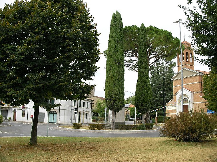
Photo: Controllore Fiscale, Public domain.
Villagrappa is a suburb, which is situated 7 km north of Centro Sportivo Stefano Bonetti.
Oriolo dei Fichi
Hamlet

Photo: Frenky65, CC BY-SA 4.0.
Oriolo dei Fichi is a hamlet, which is situated 8 km northwest of Centro Sportivo Stefano Bonetti.
Centro Sportivo Stefano Bonetti
- Access is restricted and requires permission.
- Type: Pitch
- Categories: building, recreation area, football, and sports location
- Location: Castrocaro Terme e Terra del Sole, Forlì-Cesena, Emilia-Romagna, Northeast Italy, Italy, Europe
- View on OpenStreetMap
Latitude
44.15825° or 44° 9′ 30″ northLongitude
11.95678° or 11° 57′ 24″ eastOpen location code
8FPH5X54+8POpenStreetMap ID
way 185928296OpenStreetMap feature
building=yesOpenStreetMap feature
leisure=pitchOpenStreetMap feature
sport=soccer
This page is based on OpenStreetMap, Wikidata, and Wikimedia Commons.
We’d love your help improving our open data sources. Thank you for contributing.
Satellite Map
Discover Centro Sportivo Stefano Bonetti from above in high-definition satellite imagery.
Notable Places Nearby
Highlights include Chiesa di Santa Maria in Sadurano and Sorgente solforosa.
Nearby Places
Explore places such as Maesta Nuova and Facchina.
Forlì-Cesena: Must-Visit Destinations
Delve into Cesena, Forlì, Cesenatico, and Mercato Saraceno.
Curious Pitches to Discover
Uncover intriguing pitches from every corner of the globe.
About Mapcarta. Data © OpenStreetMap contributors and available under the Open Database License". Text is available under the CC BY-SA 4.0 license, except for photos, directions, and the map. Photo: M.bernadette, CC BY-SA 4.0.