ATH
ATH is a building in Radeburg, Meissen, Saxony which is located on Königsbrücker Straße. ATH is situated nearby to the peak Der Zillberg, as well as near the police station Polizeistandort Radeburg.| Tap on a place to explore it |
Places of Interest Nearby
Highlights include Polish-Saxon Post Milestone Radeburg and City Church Radeburg.
Polish-Saxon Post Milestone Radeburg
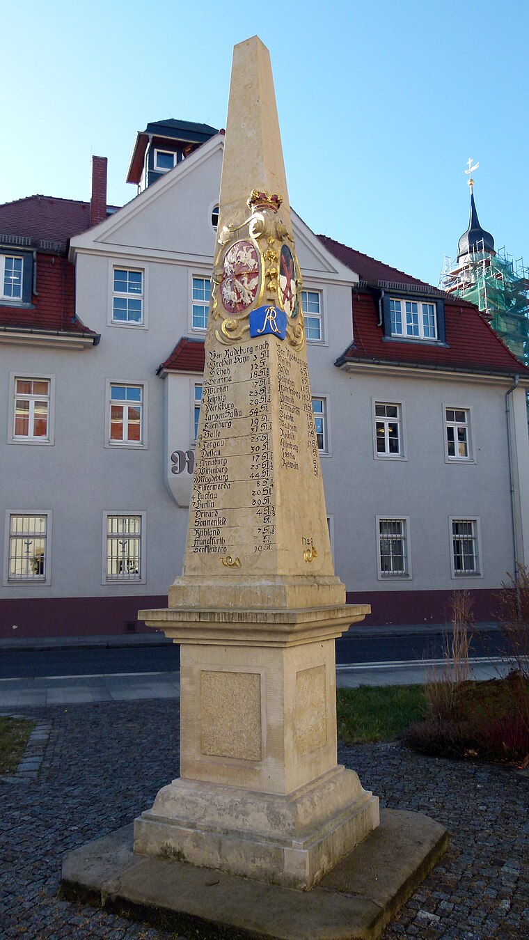
Photo: Dr. Bernd Gross, CC BY-SA 4.0.
Polish-Saxon Post Milestone Radeburg is situated 730 metres south of ATH.
City Church Radeburg
Church

Photo: X-Weinzar, CC BY-SA 2.5.
City Church Radeburg is situated 770 metres south of ATH.
Kgl.-sächs. Postmeilenstein Radeburg
Historic site
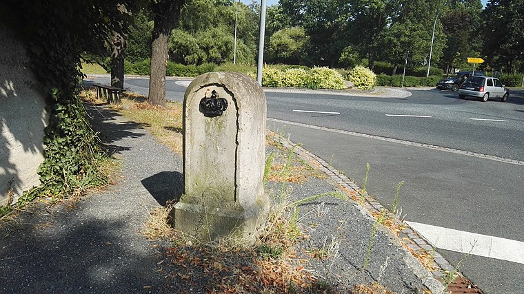
Photo: Z thomas, CC BY-SA 3.0.
Kgl.-sächs. Postmeilenstein Radeburg is a historic site, which is situated 1¼ km south of ATH.
Places in the Area
Nearby places include Rödern and Berbisdorf.

Berbisdorf
Village

Photo: X-Weinzar, CC BY-SA 2.5.
Berbisdorf is a village, which is situated 3½ km south of ATH.
Zschorna
Village

Photo: Barfuß in Rom, Public domain.
Zschorna is a village, which is situated 3½ km north of ATH.
ATH
- Type: Building
- Address: Königsbrücker Straße 34, 01471
- Location: Radeburg, Meissen, Saxony, Germany, Central Europe, Europe
- View on OpenStreetMap
Latitude
51.22155° or 51° 13′ 18″ northLongitude
13.72611° or 13° 43′ 34″ eastOpen location code
9F3M6PCG+JCOpenStreetMap ID
way 194945804OpenStreetMap feature
building=yes
This page is based on OpenStreetMap, Wikidata, and Wikimedia Commons.
We’d love your help improving our open data sources. Thank you for contributing.
Satellite Map
Discover ATH from above in high-definition satellite imagery.
Places with the Same Name
Discover other places named “ATH”.
Notable Places Nearby
Highlights include Der Zillberg and Polizeistandort Radeburg.
Nearby Places
Explore places such as Agro Landschafts- und Tiefbau GmbH and AGRO-ZENT GmbH.
Saxony: Must-Visit Destinations
Delve into Dresden, Leipzig, Chemnitz, and Meißen.
Curious Buildings to Discover
Uncover intriguing buildings from every corner of the globe.
About Mapcarta. Data © OpenStreetMap contributors and available under the Open Database License". Text is available under the CC BY-SA 4.0 license, except for photos, directions, and the map. Photo: Taxiarchos228, FAL.