110 KV-A
110 KV-A is a building in Mannheim, Karlsruhe Region, Baden-Württemberg. 110 KV-A is situated nearby to Lokomotive, as well as near the fire station Werkfeuerwehr GKM.| Tap on a place to explore it |
Places of Interest Nearby
Highlights include Grosskraftwerk Mannheim and St.-Jakobus-Kirche.
Grosskraftwerk Mannheim
Power station

Photo: Atom3,141lz, CC BY-SA 3.0.
Grosskraftwerk Mannheim is a power station, which is situated 650 metres southeast of 110 KV-A.
St.-Jakobus-Kirche
Church
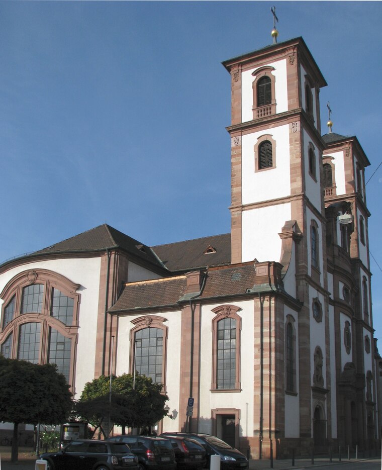
Photo: Frank-m, CC BY-SA 3.0.
St.-Jakobus-Kirche is a church, which is situated 800 metres north of 110 KV-A.
Ehsaan Mosque
Mosque

Photo: Ceddyfresse, Public domain.
Ehsan Mosque is a mosque in Mannheim, in the German state of Baden-Württemberg. It was completed in July 2010 and has a capacity of 450 worshippers. Ehsaan Mosque is situated 1 km east of 110 KV-A.
Places in the Area
Nearby places include Altrip and Hochstätt.
Altrip
Village

Photo: Immanuel Giel, Public domain.
Altrip is a municipality in the Rhein-Pfalz-Kreis, in Rhineland-Palatinate, Germany. It is situated on the left bank of the Rhine, approx. 7 km southeast of Ludwigshafen. The population in 2022 was 7,728.

Ludwigshafen

Photo: Engelberger, CC BY-SA 3.0.
Ludwigshafen, officially Ludwigshafen am Rhein, is a city in the German state of Rhineland-Palatinate, on the river Rhine, opposite Mannheim. With Mannheim, Heidelberg, and the surrounding region, it forms the Rhine-Neckar Metropolitan Region.
110 KV-A
- Type: Building
- Roof shape: flat
- Location: Mannheim, Karlsruhe Region, Rhine-Neckar, Baden-Württemberg, Germany, Central Europe, Europe
- View on OpenStreetMap
Latitude
49.44618° or 49° 26′ 46″ northLongitude
8.49155° or 8° 29′ 30″ eastOpen location code
8FXCCFWR+FJOpenStreetMap ID
way 197145477OpenStreetMap feature
building=electricityOpenStreetMap attribute
roof-shape=flat
This page is based on OpenStreetMap, Wikidata, and Wikimedia Commons.
We’d love your help improving our open data sources. Thank you for contributing.
Satellite Map
Discover 110 KV-A from above in high-definition satellite imagery.
Notable Places Nearby
Highlights include Lokomotive and Werkfeuerwehr GKM.
Nearby Places
Explore places such as Casino and Block 2 (stillgelegt).
Rhine-Neckar: Must-Visit Destinations
Delve into Heidelberg, Karlsruhe, Heilbronn, and Sinsheim.
Curious Buildings to Discover
Uncover intriguing buildings from every corner of the globe.
About Mapcarta. Data © OpenStreetMap contributors and available under the Open Database License". Text is available under the CC BY-SA 4.0 license, except for photos, directions, and the map. Photo: HubiB, CC BY 2.5.