N.I.O.P.D.C
N.I.O.P.D.C is in Isfahan, Central Iran. N.I.O.P.D.C is situated nearby to the shopping center Osun, as well as near the hospital EMS.| Tap on a place to explore it |
Places of Interest Nearby
Highlights include 33 Pol Bridge and Bethlehem Church.
33 Pol Bridge
Bridge

Photo: Nasser-sadeghi, CC BY-SA 3.0.
The Allahverdi Khan Bridge, popularly known as Si-o-se-pol, is the largest of the eleven historical bridges on the Zayanderud, the largest river of the Iranian Plateau, in Isfahan, Iran. 33 Pol Bridge is situated 1¼ km north of N.I.O.P.D.C.
Bethlehem Church
Church
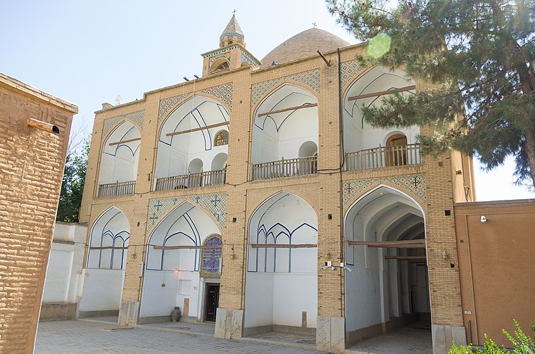
Photo: Antoinetav, CC BY-SA 4.0.
Holy Bethlehem Church of New Julfa or Bedkhem Church, is an Armenian Apostolic church in the Julfa quarter in Isfahan, Iran. One of the most important historical churches of the city, it belongs to the Abbas I era. Bethlehem Church is situated 740 metres west of N.I.O.P.D.C.
Shari’ati
Metro station
Shari'ati Metro Station is a station on Isfahan Metro Line 1. The station opened on 20 July 2017. It is located on intersection in southern central Isfahan along Chaharbagh Avenue just north of the intersection with Shariati and Nikbakht Streets. Shari’ati is situated 540 metres south of N.I.O.P.D.C.
Places in the Area
Nearby places include Isfahan and Jey Shir.
Isfahan

Photo: Gire 3pich2005, CC0.
Isfahan is a city in central Iran, south of Tehran and is the capital of Isfahan Province. Due to its beautiful hand-painted tiling and magnificent public square, it is considered to be one of the most beautiful cities in the world.
Jey Shir
Neighborhood
Jey Shir is a village in Jey Rural District, in the Central District of Isfahan County, Isfahan Province, Iran. At the 2006 census, its population was 1,972, in 519 families. Jey Shir is situated 7 km east of N.I.O.P.D.C.
Kalamkharan
Neighborhood
Kalamkhvaran is a village in Jey Rural District, in the Central District of Isfahan County, Isfahan Province, Iran. At the 2006 census, its population was 697, in 189 families. Kalamkharan is situated 8 km east of N.I.O.P.D.C.
N.I.O.P.D.C
- Type: Commerce
- Location: Isfahan, Central Iran, Iran, Middle East, Asia
- View on OpenStreetMap
Latitude
32.63411° or 32° 38′ 3″ northLongitude
51.6652° or 51° 39′ 55″ eastOpen location code
8H4HJMM8+J3OpenStreetMap ID
way 198067253OpenStreetMap feature
landuse=commercial
This page is based on OpenStreetMap, Wikidata, and Wikimedia Commons.
We’d love your help improving our open data sources. Thank you for contributing.
Satellite Map
Discover N.I.O.P.D.C from above in high-definition satellite imagery.
Notable Places Nearby
Highlights include Osun and EMS.
Nearby Places
Explore places such as Chaharbagh Bala and Bank Saderat Iran.
Isfahan: Must-Visit Destinations
Delve into Isfahan, Kashan, Varzaneh, and Aran va Bidgol.
Curious Places to Discover
Uncover intriguing places from every corner of the globe.
About Mapcarta. Data © OpenStreetMap contributors and available under the Open Database License". Text is available under the CC BY-SA 4.0 license, except for photos, directions, and the map. Photo: Nikopol, CC BY-SA 3.0.