Springstall Thomas Steiger
Springstall Thomas Steiger is a farm in Ludwigshafen am Rhein, Ludwigshafen, Rhineland-Palatinate which is located on In den Villen. Springstall Thomas Steiger is situated nearby to the police station Autobahnpolizei Ruchheim, as well as near Polizeiautobahnstation Ruchheim.| Tap on a place to explore it |
Places of Interest Nearby
Highlights include St. Cyriakuskirche (Ludwigshafen-Ruchheim) and Evangelical Church.
St. Cyriakuskirche (Ludwigshafen-Ruchheim)
Church

Photo: Immanuel Giel, Public domain.
St. Cyriakuskirche (Ludwigshafen-Ruchheim) is a church, which is situated 1¼ km southwest of Springstall Thomas Steiger.
Evangelical Church
Church

Photo: Immanuel Giel, Public domain.
Evangelical Church is situated 1¼ km south of Springstall Thomas Steiger.
Synagogue
Building

Photo: Immanuel Giel, Public domain.
Synagogue is a building, which is situated 1¼ km southwest of Springstall Thomas Steiger.
Places in the Area
Nearby places include Ruchheim and Eppstein.
Ruchheim
Suburb
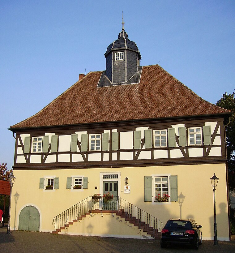
Photo: Immanuel Giel, CC BY-SA 3.0.
Ruchheim is the far western suburb of Ludwigshafen am Rhein located in the Rhineland-Palatinate state of Germany. In the past Ruchheim was typically a small farming town, now however due to housing estates its population has burgeoned to approximately 6,000 inhabitants.
Eppstein
Suburb
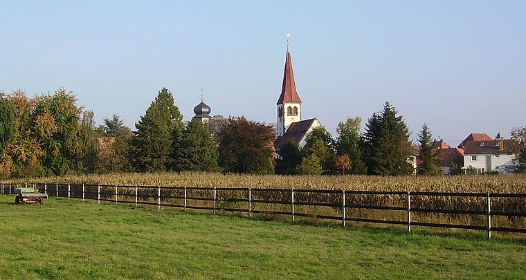
Photo: Immanuel Giel, CC BY-SA 3.0.
Eppstein is a suburb, which is situated 3 km north of Springstall Thomas Steiger.
Fußgönheim
Village

Photo: Immanuel Giel, Public domain.
Fußgönheim is a municipality in the Rhein-Pfalz-Kreis, in Rhineland-Palatinate, Germany. It is a member of the Verbandsgemeinde Maxdorf, together with Maxdorf and Birkenheide. Fußgönheim is situated 3½ km southwest of Springstall Thomas Steiger.
Springstall Thomas Steiger
- Type: Farm
- Address: In den Villen 2, Ruchheim, Ludwigshafen am Rhein, 67071
- Category: agriculture
- Location: Ludwigshafen am Rhein, Ludwigshafen, Palatinate, Rhineland-Palatinate, Germany, Central Europe, Europe
- View on OpenStreetMap
Latitude
49.48245° or 49° 28′ 57″ northLongitude
8.33144° or 8° 19′ 53″ eastOpen location code
8FXCF8JJ+XHOpenStreetMap ID
way 208779796OpenStreetMap feature
landuse=farmyard
This page is based on OpenStreetMap, Wikidata, and Wikimedia Commons.
We’d love your help improving our open data sources. Thank you for contributing.
Satellite Map
Discover Springstall Thomas Steiger from above in high-definition satellite imagery.
Notable Places Nearby
Highlights include Autobahnpolizei Ruchheim and Polizeiautobahnstation Ruchheim.
Nearby Places
Explore places such as Harley-Davidson Rhein-Neckar GmbH and PA Solutions.
Palatinate: Must-Visit Destinations
Delve into Speyer, Kaiserslautern, Pirmasens, and Landau in der Pfalz.
Curious Farms to Discover
Uncover intriguing farms from every corner of the globe.
About Mapcarta. Data © OpenStreetMap contributors and available under the Open Database License". Text is available under the CC BY-SA 4.0 license, except for photos, directions, and the map. Photo: Engelberger, CC BY-SA 3.0.