Can Berenguer
Can Berenguer is a park in Pollença, Balearic Islands. Can Berenguer is situated nearby to the cross Creu de Ca na Cantona, as well as near the park Voltadora de Ca n’Escarrinxo.| Tap on a place to explore it |
Places of Interest Nearby
Highlights include Church of Our Lady of the Angels in Pollença and Mare de Déu del Roser.
Church of Our Lady of the Angels in Pollença
Church

Photo: Olaf2, CC BY-SA 3.0 es.
Church of Our Lady of the Angels in Pollença is situated 1 km southwest of Can Berenguer.
Mare de Déu del Roser
Church

Photo: Olaf2, CC BY-SA 4.0.
Mare de Déu del Roser is a church, which is situated 1 km southwest of Can Berenguer.
Club Pollença
Café
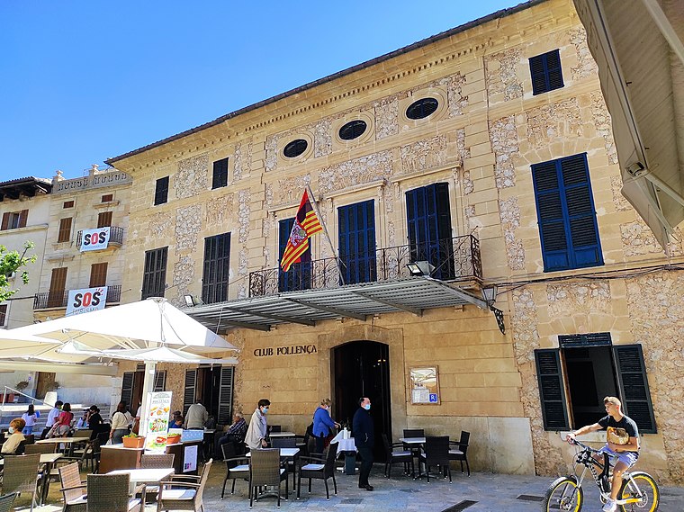
Photo: RafelJuan, CC BY-SA 3.0.
Club Pollença is a café, which is situated 1 km southwest of Can Berenguer.
Places in the Area
Nearby places include Ternelles and Port de Pollença.
Ternelles
Locality

Photo: Atilio Boveri, Public domain.
Ternelles is a locality, which is situated 3 km northwest of Can Berenguer.
Port de Pollença

Photo: originalpickaxe, CC BY 3.0.
Port de Pollença is a small town on the coast of the Serra de Tramuntana region of Mallorca. It's the most northerly town on the island. The Roman port of Pollentia was further southeast by present-day Alcúdia, but came under seaborne attack so they moved inland to Pollença.

Can Berenguer
- Type: Park
- Category: recreation area
- Location: Pollença, Balearic Islands, Spain, Iberia, Europe
- View on OpenStreetMap
Latitude
39.88427° or 39° 53′ 3″ northLongitude
3.02141° or 3° 1′ 17″ eastOpen location code
8FF5V2MC+PHOpenStreetMap ID
way 210590087OpenStreetMap feature
leisure=park
This page is based on OpenStreetMap, Wikidata, and Wikimedia Commons.
We’d love your help improving our open data sources. Thank you for contributing.
Satellite Map
Discover Can Berenguer from above in high-definition satellite imagery.
In Other Languages
“Can Berenguer” goes by many names.
- Catalan: “Can Berenguer”
Places with the Same Name
Discover other places named “Can Berenguer”.
Notable Places Nearby
Highlights include Creu de Ca na Cantona and Voltadora de Ca n’Escarrinxo.
Nearby Places
Explore places such as Teixits Vicens and La Font 1 (Pollença).
Balearic Islands: Must-Visit Destinations
Delve into Palma de Mallorca, Formentera, Ibiza, and Maó.
Curious Parks to Discover
Uncover intriguing parks from every corner of the globe.
About Mapcarta. Data © OpenStreetMap contributors and available under the Open Database License". Text is available under the CC BY-SA 4.0 license, except for photos, directions, and the map. Photo: Elgaard, CC BY-SA 4.0.