Residenza Caterina
Residenza Caterina is a parking area in Ferrara, Ferrara, Emilia-Romagna. Residenza Caterina is situated nearby to the fire station Vigili del Fuoco di Ferrara, as well as near the sports venue Piscina comunale di Via Beethoven.| Tap on a place to explore it |
Places of Interest Nearby
Highlights include Palaghiaccio di Ferrara and Biblioteca centralizzata scientifico-tecnologica dell’Università degli studi di Ferrara.
Palaghiaccio di Ferrara
Sports venue

Photo: Lungoleno, CC BY-SA 4.0.
Palaghiaccio di Ferrara is a sports venue, which is situated 400 metres southeast of Residenza Caterina.
Biblioteca centralizzata scientifico-tecnologica dell’Università degli studi di Ferrara
Library
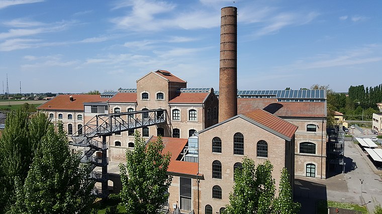
Photo: Wikimedia, CC BY-SA 4.0.
Biblioteca centralizzata scientifico-tecnologica dell’Università degli studi di Ferrara is a library, which is situated 1 km northeast of Residenza Caterina.
NEW MOF
Historic building

Photo: Lungoleno, CC BY-SA 2.5.
NEW MOF is a historic building, which is situated 2 km northeast of Residenza Caterina.
Places in the Area
Nearby places include Cassana and Malborghetto di Boara.
Cassana
Village

Photo: Paolo Monti, CC BY-SA 4.0.
Cassana is a village, which is situated 3½ km northwest of Residenza Caterina.
Malborghetto di Boara
Village
Photo: Nicola Quirico, CC BY-SA 4.0.
Malborghetto di Boara is a village, which is situated 6 km northeast of Residenza Caterina.
Pontelagoscuro
Village

Photo: Rapallo80, CC BY-SA 4.0.
Ferrara is a city and comune in Emilia-Romagna, Northern Italy, capital of the province of Ferrara. As of 2016, it had 132,009 inhabitants. It is situated 44 kilometres northeast of Bologna, on the Po di Volano, a branch channel of the main stream of the Po River, located 5 km north. Pontelagoscuro is situated 6 km north of Residenza Caterina.
Residenza Caterina
- Type: Parking area
- Category: transportation
- Location: Ferrara, Ferrara, Emilia-Romagna, Northeast Italy, Italy, Europe
- View on OpenStreetMap
Latitude
44.82496° or 44° 49′ 30″ northLongitude
11.59172° or 11° 35′ 30″ eastOpen location code
8FPHRHFR+XMOpenStreetMap ID
way 218748574OpenStreetMap feature
amenity=parking
This page is based on OpenStreetMap, Wikidata, and Wikimedia Commons.
We’d love your help improving our open data sources. Thank you for contributing.
Satellite Map
Discover Residenza Caterina from above in high-definition satellite imagery.
Notable Places Nearby
Highlights include Vigili del Fuoco di Ferrara and Piscina comunale di Via Beethoven.
Nearby Places
Explore places such as Casa protetta ‘Residenza Caterina and ADO ‘Casa del Sollievo’.
Emilia-Romagna: Must-Visit Destinations
Delve into Bologna, Ravenna, Parma, and Modena.
Curious Parking Areas to Discover
Uncover intriguing parking areas from every corner of the globe.
About Mapcarta. Data © OpenStreetMap contributors and available under the Open Database License". Text is available under the CC BY-SA 4.0 license, except for photos, directions, and the map. Photo: [2], CC BY-SA 2.0.