Powis Lake
Powis Lake is a lake in Western Australia, Australia. Powis Lake is situated nearby to the suburb Herdsman, as well as near the neighborhood Stockland Canopy.| Tap on a place to explore it |
Places of Interest
Highlights include Glendalough railway station and Subiaco Oval.
Glendalough railway station
Railway station

Photo: Wikimedia, Public domain.
Glendalough railway station is a railway station on the Transperth network in Perth, Western Australia. It is located on the Yanchep line, five kilometres from Perth Underground station serving the suburb of Glendalough.
Subiaco Oval
Pitch

Photo: Michael Spencer, CC BY 2.0.
Subiaco Oval was a sports stadium in Perth, Western Australia, located in the suburb of Subiaco. It was opened in 1908 and closed in 2017 after the completion of the new Perth Stadium in Burswood.
St John of God Subiaco Hospital
Hospital
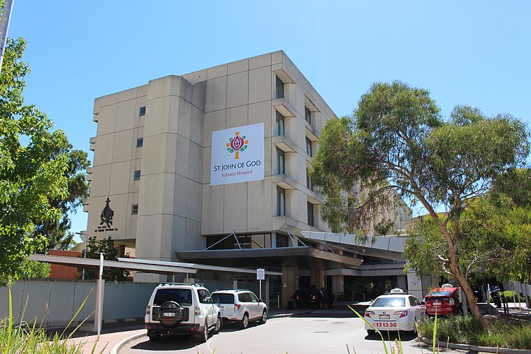
Photo: Samuel Wiki, CC0.
St John of God Subiaco Hospital is a private hospital in Subiaco, Western Australia, founded in 1898.
Places in the Area
Nearby places include City and The Coast.
City
 Perth City or Perth CBD is the central business district in Perth, but there are plenty of other things to see than just tall buildings and busy men in suits.
The Coast
The Coast is the area of beach on the west coast of Perth. The area is bounded to the north by Hillarys Boat Harbour and beyond are Perth's outer suburbs.Northbridge
 Northbridge is a suburb in Perth. It's a place to go for the independent end of shopping, art, eating and nightlife.
Powis Lake
- Type: Lake
- Category: body of water
- Location: Western Australia, Australia, Oceania
- View on OpenStreetMap
Latitude
-31.9217° or 31° 55′ 18″ southLongitude
115.8104° or 115° 48′ 37″ eastOpen location code
4PWQ3RH6+84OpenStreetMap ID
way 219392856OpenStreetMap feature
natural=waterOpenStreetMap feature
water=lake
This page is based on OpenStreetMap, Wikidata, and Wikimedia Commons.
We’d love your help improving our open data sources. Thank you for contributing.
Satellite Map
Discover Powis Lake from above in high-definition satellite imagery.
Localities in the Area
Explore places such as Herdsman and Stockland Canopy.
Notable Places Nearby
Highlights include Glendalough Open Space and Floreat Water.
Western Australia: Must-Visit Destinations
Delve into Perth, Fremantle, Kalgoorlie–Boulder, and Purnululu National Park.
Curious Lakes to Discover
Uncover intriguing lakes from every corner of the globe.
About Mapcarta. Data © OpenStreetMap contributors and available under the Open Database License". Text is available under the CC BY-SA 4.0 license, except for photos, directions, and the map. Photo: JarrahTree, CC0.