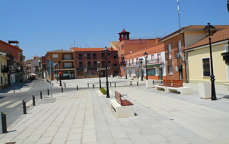
Consultorio Local de Moraleja de Enmedio
Consultorio Local de Moraleja de Enmedio is a clinic in Moraleja de Enmedio, Madrid, Community of Madrid. Consultorio Local de Moraleja de Enmedio is situated nearby to the theater building Centro Cultural El Cerro, as well as near the library Biblioteca municipal.| Tap on a place to explore it |
Places of Interest Nearby
Highlights include Humanes.
Humanes
Railway station
 Humanes is a railway station, which is situated 2½ km east of Consultorio Local de Moraleja de Enmedio.
Places in the Area
Nearby places include Humanes de Madrid and Arroyomolinos.
Humanes de Madrid
Town
 Humanes de Madrid is a town and municipality of Spain, part of the Community of Madrid. As of 2019, it has a population of 19,743 inhabitants. Humanes de Madrid is situated 3 km east of Consultorio Local de Moraleja de Enmedio.
Arroyomolinos
Town
 Arroyomolinos is a municipality of the autonomous community of Madrid in central Spain. As of 2022, it had a population of 34,833. Arroyomolinos is situated 5 km west of Consultorio Local de Moraleja de Enmedio.
Griñón
Town
 Griñón is a municipality of the Community of Madrid, Spain. Griñón is situated 5 km south of Consultorio Local de Moraleja de Enmedio.
Consultorio Local de Moraleja de Enmedio
- Type: Clinic
- Category: health care
- Location: Moraleja de Enmedio, Madrid, Community of Madrid, Central Spain, Spain, Iberia, Europe
- View on OpenStreetMap
Latitude
40.26107° or 40° 15′ 40″ northLongitude
-3.85958° or 3° 51′ 35″ westOpen location code
8CGR746R+C5OpenStreetMap ID
way 221369558OpenStreetMap feature
amenity=clinicOpenStreetMap feature
healthcare=clinic
This page is based on OpenStreetMap, Wikidata, and Wikimedia Commons.
We’d love your help improving our open data sources. Thank you for contributing.
Satellite Map
Discover Consultorio Local de Moraleja de Enmedio from above in high-definition satellite imagery.
Notable Places Nearby
Highlights include Centro Cultural El Cerro and Biblioteca municipal.
Nearby Places
Explore places such as Mirasierra - Centro Cultural and Av. Fuenlabrada - Humanes.
Community of Madrid: Must-Visit Destinations
Delve into Madrid, Alcalá de Henares, Getafe, and Aranjuez.
Curious Clinics to Discover
Uncover intriguing clinics from every corner of the globe.
About Mapcarta. Data © OpenStreetMap contributors and available under the Open Database License". Text is available under the CC BY-SA 4.0 license, except for photos, directions, and the map. Photo: Wikimedia, CC0.