Station d’épuration de Genappe
Station d’épuration de Genappe is a wastewater treatment plant in Genappe, Arrondissement of Nivelles, Wallonia. Station d’épuration de Genappe is situated nearby to the church Grotte Notre-Dame de Lourdes, as well as near Chapelle des Douze Apôtres.| Tap on a place to explore it |
Places of Interest Nearby
Highlights include Auberge du Roy d’Espagne and Église Saint-Barthélemy de Bousval.
Auberge du Roy d’Espagne
House
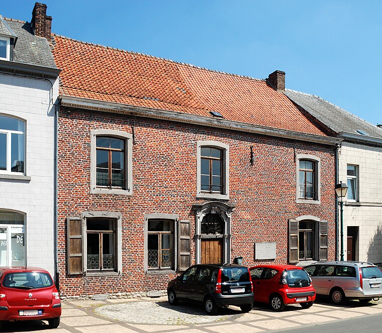
Photo: EmDee, CC BY-SA 3.0.
Auberge du Roy d’Espagne is a house, which is situated 1½ km northwest of Station d’épuration de Genappe.
Église Saint-Barthélemy de Bousval
Church

Photo: EmDee, CC BY-SA 4.0.
Église Saint-Barthélemy de Bousval is a church, which is situated 3 km east of Station d’épuration de Genappe.
Chapel of Try-au-Chêne
Church

Photo: EmDee, CC BY-SA 3.0.
Chapel of Try-au-Chêne is a church, which is situated 3 km east of Station d’épuration de Genappe.
Places in the Area
Nearby places include Quatre Bras and Houtain-le-Val.
Quatre Bras
Hamlet
Quatre Bras is a hamlet in the municipality of Genappe, Wallonia, Belgium. It lies on the crossroad of the Charleroi–Brussels road and the Nivelles–Namur road south of Genappe. Quatre Bras is situated 4 km south of Station d’épuration de Genappe.
Houtain-le-Val
Village

Photo: flamenc, CC BY-SA 3.0.
Houtain-le-Val is a village, which is situated 4½ km southwest of Station d’épuration de Genappe.
Villers-la-Ville

Photo: Wikimedia, CC BY-SA 3.0.
Villers-la-Ville is a historic town in the Walloon province of Walloon Brabant in Belgium. Tourists mainly come here to visit the notable abbey ruins and have a walk in the surrounding forests.
Station d’épuration de Genappe
- Type: Wastewater treatment plant
- Category: industry
- Location: Genappe, Arrondissement of Nivelles, Walloon Brabant, Wallonia, Belgium, Benelux, Europe
- View on OpenStreetMap
Latitude
50.60801° or 50° 36′ 29″ northLongitude
4.46812° or 4° 28′ 5″ eastOperator
IECBWOpen location code
9F26JF59+66OpenStreetMap ID
way 222997156OpenStreetMap feature
man_made=wastewater_plant
This page is based on OpenStreetMap, Wikidata, and Wikimedia Commons.
We’d love your help improving our open data sources. Thank you for contributing.
Satellite Map
Discover Station d’épuration de Genappe from above in high-definition satellite imagery.
Notable Places Nearby
Highlights include Grotte Notre-Dame de Lourdes and Chapelle des Douze Apôtres.
Nearby Places
Explore places such as Moulin de Ways and Le Petit Manoir.
Walloon Brabant: Must-Visit Destinations
Delve into Waterloo, Villers-la-Ville, and Louvain-la-Neuve.
Curious Wastewater Treatment Plants to Discover
Uncover intriguing wastewater treatment plants from every corner of the globe.
About Mapcarta. Data © OpenStreetMap contributors and available under the Open Database License". Text is available under the CC BY-SA 4.0 license, except for photos, directions, and the map. Photo: Wikimedia, CC BY-SA 3.0.