The Vincent
The Vincent is a social service facility in Bristol, England which is located on Redland Hill. The Vincent is situated nearby to the hospital Spire Bristol, as well as near the health club The REC;The Exercise Club.| Tap on a place to explore it |
- Type: Social service facility
- Also known as: “Queen Victoria Hospital”
- Address: Redland Hill, Bristol, BS6 6US
Places of Interest Nearby
Highlights include Durdham Down and The Blackboy Inn.
Durdham Down
Park

Photo: Rbrwr, CC BY-SA 3.0.
Durdham Down is an area of public open space in Bristol, England. With its neighbour Clifton Down to the southwest, it constitutes a 400-acre area known as The Downs, much used for leisure including walking, jogging and team sports. Durdham Down is situated 590 feet west of The Vincent.
The Blackboy Inn
Health club

Photo: Derek Harper, CC BY-SA 2.0.
The Blackboy Inn is a health club, which is situated 870 feet south of The Vincent.
Bristol Old Vic Theatre School
College
 The Bristol Old Vic Theatre School is a drama school in Bristol, England. The institution provides training in acting and production for careers in film, television and theatre. Bristol Old Vic Theatre School is situated 2,300 feet southwest of The Vincent.
Places in the Area
Nearby places include Westbury Park and Redland.
Westbury Park
Suburb
Westbury Park is a suburb of the city of Bristol, United Kingdom. It lies to the east of Durdham Down between the districts of Redland and Henleaze. The area is very similar in character to nearby Redland and comprises mainly Victorian and early twentieth-century architecture, along with a selection of Georgian buildings.
Redland
Suburb
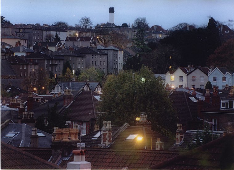
Photo: Wikimedia, CC BY-SA 3.0.
Redland is a neighbourhood in Bristol, England. The neighbourhood is situated between Clifton, Cotham, Bishopston and Westbury Park. The boundaries of the district are not precisely defined, but are generally taken to be Whiteladies Road in the west, the Severn Beach railway line in the south and Cranbrook Road in the east.
Clifton
Suburb

Photo: Rbrwr, CC BY-SA 3.0.
Clifton is an inner suburb of Bristol, England, and the name of one of the city's thirty-five electoral wards. The Clifton ward also includes the areas of Cliftonwood and Hotwells.
The Vincent
- Category: building
- Location: Bristol, England, United Kingdom, Britain and Ireland, Europe
- View on OpenStreetMap
Latitude
51.47131° or 51° 28′ 17″ northLongitude
-2.61416° or 2° 36′ 51″ westOpen location code
9C3VF9CP+G8OpenStreetMap ID
way 224671110OpenStreetMap feature
amenity=social_facilityOpenStreetMap feature
building=yes
This page is based on OpenStreetMap, Wikidata, and Wikimedia Commons.
We’d love your help improving our open data sources. Thank you for contributing.
Satellite Map
Discover The Vincent from above in high-definition satellite imagery.
Places with the Same Name
Discover other places named “The Vincent”.
Notable Places Nearby
Highlights include Spire Bristol and The REC;The Exercise Club.
Nearby Places
Explore places such as Grove House and Princess Charlotte Obelisk.
England: Must-Visit Destinations
Delve into London, Manchester, Sheffield, and Leeds.
Curious Social Service Facilities to Discover
Uncover intriguing social service facilities from every corner of the globe.
About Mapcarta. Data © OpenStreetMap contributors and available under the Open Database License". Text is available under the CC BY-SA 4.0 license, except for photos, directions, and the map. Photo: sidibousaid, CC BY 2.0.