Resurrection Mission Baptist Church
Resurrection Mission Baptist Church is a church in Oakland County, Michigan which is located on South Woodward Avenue. Resurrection Mission Baptist Church is situated nearby to Reynolds Park, as well as near the park Kiwanis Tot Lot.| Tap on a place to explore it |
- Type: Church
- Denomination: Baptist
- Address: 1728 South Woodward Avenue, Huntington Woods, MI 48072
Places of Interest Nearby
Highlights include Royal Oak station and Dondero High School.
Royal Oak station
Railway station
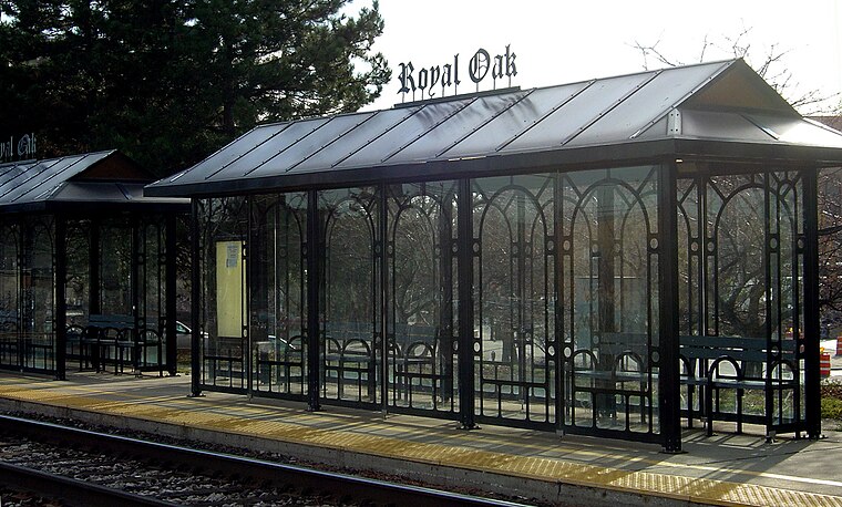
Photo: Stanthejeep, CC BY-SA 2.5.
The Royal Oak Transit Center is an intermodal transit station in Royal Oak, Michigan, a suburb of Detroit. It is served by Amtrak's Wolverine, which makes three round trips daily from nearby Pontiac to Chicago, Illinois. Royal Oak station is situated 1 mile east of Resurrection Mission Baptist Church.
Dondero High School
School
George A. Dondero High School opened in 1927 in Royal Oak, Michigan in Greater Detroit. It was named after former Royal Oak School Board president and U.S. representative George A. Dondero High School is situated 1 mile northeast of Resurrection Mission Baptist Church.
Beaumont Health
Hospital
Beaumont Health was Southeast Michigan’s largest health care system and was headquartered in Southfield, Michigan. It was bought out and merged with Spectrum Health of West Michigan in 2023 to form Corewell Health, with the headquarters of the new health system being located in Grand Rapids. Beaumont Health is situated 2 miles northwest of Resurrection Mission Baptist Church.
Places in the Area
Nearby places include Huntington Woods and Royal Oak.
Huntington Woods
Town

Photo: WeaponizingArchitecture, CC BY-SA 4.0.
Huntington Woods is a city in Oakland County in the U.S. state of Michigan. An inner-ring suburb of Detroit on the Woodward Corridor, Huntington Woods is located roughly 12 miles northwest of downtown Detroit.
Royal Oak
Royal Oak is a suburb of Detroit in Oakland County, Michigan known for its trendy downtown shopping area and bars. 1 mile South of Royal Oak is Ferndale, a place very similar to Royal Oak, known for its large lesbian-gay-bisexual-transgender population.Berkley
Town

Photo: Stanthejeep, CC BY-SA 2.5.
Berkley is a city in Oakland County in the U.S. state of Michigan. A northern suburb of Detroit on the Woodward Corridor, Berkley is located roughly 14 miles northwest of downtown Detroit. As of the 2020 census, the city had a population of 15,194.
Resurrection Mission Baptist Church
- Categories: building, place of worship, and religion
- Location: Oakland County, Michigan, Midwest, United States, North America
- View on OpenStreetMap
Latitude
42.4895° or 42° 29′ 22″ northLongitude
-83.16571° or 83° 9′ 57″ westOpen location code
86JRFRQM+RPOpenStreetMap ID
way 227727274OpenStreetMap feature
amenity=place_of_worshipOpenStreetMap feature
building=churchOpenStreetMap attribute
denomination=baptist
This page is based on OpenStreetMap, Wikidata, and Wikimedia Commons.
We’d love your help improving our open data sources. Thank you for contributing.
Satellite Map
Discover Resurrection Mission Baptist Church from above in high-definition satellite imagery.
Notable Places Nearby
Highlights include Reynolds Park and Kiwanis Tot Lot.
Nearby Places
Explore places such as 11 Mile / Stanford (WB) and Monarch Market Cafe.
Oakland County: Must-Visit Destinations
Delve into Auburn Hills, Pontiac, Troy, and Rochester Hills.
Curious Churches to Discover
Uncover intriguing churches from every corner of the globe.
About Mapcarta. Data © OpenStreetMap contributors and available under the Open Database License". Text is available under the CC BY-SA 4.0 license, except for photos, directions, and the map. Photo: Wikimedia, CC0.