Auburn North Public School
Auburn is a Western Sydney suburb in the state of New South Wales, Australia. Auburn is located 16 kilometres west of the Sydney central business district and is in the local government area of Cumberland City Council, having previously been the administrative centre of Auburn Council.| Tap on a place to explore it |
- Email: auburnnth-p.school@det.nsw.edu.au
- Type: School
- Description: public school in Auburn, New South Wales, Australia
- Address: 100 Adderley Street West, Auburn, 2144
Places of Interest Nearby
Highlights include Auburn and Lidcombe Shopping Centre.
Auburn
Railway station

Photo: Abesty, CC BY-SA 3.0.
Auburn railway station is located on the Main Suburban line, serving the Sydney suburb of Auburn. It is served by Sydney Trains T1 Western and T2 Leppington & Inner West line services. Auburn is situated 1 km southwest of Auburn North Public School.
Lidcombe Shopping Centre
Shopping center
Lidcombe Shopping Centre is a shopping centre in the suburb of Lidcombe in Greater Western Sydney, Australia. Lidcombe Shopping Centre is situated 1¼ km southeast of Auburn North Public School.
Auburn Library
Library

Photo: Sardaka, CC BY-SA 3.0.
Auburn Library is situated 1¼ km south of Auburn North Public School.
Places in the Area
Nearby places include Newington and Sydney Olympic Park.
Newington
Suburb
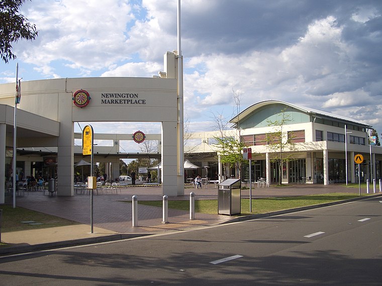 Newington is a western suburb of Sydney, in the state of New South Wales, Australia. It is 16 kilometres west of the Sydney central business district, in the local government area of City of Parramatta.
Sydney Olympic Park

Photo: Adam.J.W.C, CC BY-SA 2.5.
Sydney Olympic Park is an area 15 km west of Sydney CBD. It is on the western reaches of Sydney Harbour, and was the home of the 2000 Olympic Games. The Sydney Olympic Park area, together with the surrounding areas on the Parramatta River including the…
Rydalmere
Suburb
Rydalmere is a suburb of Sydney, in the state of New South Wales, Australia. Rydalmere is approximately 21 kilometres west of the Sydney central business district in the local government area of the City of Parramatta. Rydalmere is situated 3½ km north of Auburn North Public School.
Auburn North Public School
- Category: education
- Location: New South Wales, Australia, Oceania
- View on OpenStreetMap
Latitude
-33.84179° or 33° 50′ 30″ southLongitude
151.03864° or 151° 2′ 19″ eastInception
January 1st, 1891Operator
NSW Department of EducationOpen location code
4RRH525Q+7FOpenStreetMap ID
way 228065188OpenStreetMap feature
amenity=schoolWikidata ID
Q4819289
This page is based on OpenStreetMap, Wikidata, Wikimedia Commons, and Wikipedia.
We’d love your help improving our open data sources. Thank you for contributing.
Satellite Map
Discover Auburn North Public School from above in high-definition satellite imagery.
In Other Languages
“Auburn North Public School” goes by many names.
- Egyptian Arabic: “مدرسة اوبورن الشماليه العامه”
Notable Places Nearby
Highlights include Silverwater Fire Station and McDonald’s PlayPlace.
Nearby Places
Explore places such as Auburn North Public School, Parramatta Rd and Parramatta Rd opp Auburn North Public School.
New South Wales: Must-Visit Destinations
Delve into Sydney, Mungo National Park, Newcastle, and New England National Park.
Curious Schools to Discover
Uncover intriguing schools from every corner of the globe.
About Mapcarta. Data © OpenStreetMap contributors and available under the Open Database License". Text is available under the CC BY-SA 4.0 license, except for photos, directions, and the map. Description text is based on the Wikipedia page “Auburn North Public School”. Photo: Cheggas7, CC BY-SA 4.0.