Harry Käfer Objektplanung
Harry Käfer Objektplanung is a building in Osthofen, Alzey-Worms, Rhineland-Palatinate which is located on Backsteinweg. Harry Käfer Objektplanung is situated nearby to Evangelisch-Freikirchliche Gemeinde Osthofen, as well as near the park Geflügelzuchtverein.| Tap on a place to explore it |
Places of Interest Nearby
Highlights include Osthofen station and Small Church.
Osthofen station
Railway station

Photo: Reinhard Dietrich, CC BY-SA 4.0.
Osthofen station is a railway station, which is situated 1 km northwest of Harry Käfer Objektplanung.
Small Church
Church

Photo: Immanuel Giel, CC BY-SA 4.0.
Small Church is situated 1 km northwest of Harry Käfer Objektplanung.
St. Remigius (Osthofen)
Church
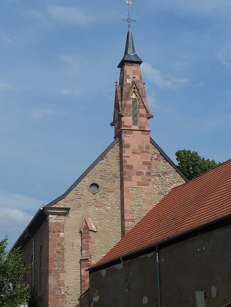
Photo: Immanuel Giel, CC BY-SA 3.0.
St. Remigius (Osthofen) is a church, which is situated 1¼ km northwest of Harry Käfer Objektplanung.
Places in the Area
Nearby places include Abenheim and Bechtheim.
Abenheim
Suburb

Photo: Hermann Luyken, CC0.
Abenheim is a suburb, which is situated 4½ km southwest of Harry Käfer Objektplanung.
Bechtheim
Village

Photo: Symposiarch, CC BY-SA 3.0.
Bechtheim is an Ortsgemeinde – a municipality belonging to a Verbandsgemeinde, a kind of collective municipality – in the Alzey-Worms district in Rhineland-Palatinate, Germany. It belongs to the Verbandsgemeinde of Wonnegau, whose seat is in Osthofen. Bechtheim is situated 4½ km northwest of Harry Käfer Objektplanung.
Mettenheim
Village

Photo: Zumthie, Public domain.
Mettenheim is an Ortsgemeinde – a municipality belonging to a Verbandsgemeinde, a kind of collective municipality – in the Alzey-Worms district in Rhineland-Palatinate, Germany. Mettenheim is situated 4½ km north of Harry Käfer Objektplanung.
Harry Käfer Objektplanung
- Type: Commercial building
- Address: Backsteinweg 6, Osthofen, 67574
- Categories: building and office
- Location: Osthofen, Alzey-Worms, Rhineland-Palatinate, Germany, Central Europe, Europe
- View on OpenStreetMap
Latitude
49.69884° or 49° 41′ 56″ northLongitude
8.33419° or 8° 20′ 3″ eastOpen location code
8FXCM8XM+GMOpenStreetMap ID
way 231206324OpenStreetMap feature
building=commercial
This page is based on OpenStreetMap, Wikidata, and Wikimedia Commons.
We’d love your help improving our open data sources. Thank you for contributing.
Satellite Map
Discover Harry Käfer Objektplanung from above in high-definition satellite imagery.
Notable Places Nearby
Highlights include Evangelisch-Freikirchliche Gemeinde Osthofen and Geflügelzuchtverein.
Nearby Places
Explore places such as DIMAX GmbH and Fischer Ingenieure Baustatik und Tragwerksplanung.
Rhineland-Palatinate: Must-Visit Destinations
Delve into Mainz, Trier, Koblenz, and Worms.
Curious Places to Discover
Uncover intriguing places from every corner of the globe.
About Mapcarta. Data © OpenStreetMap contributors and available under the Open Database License". Text is available under the CC BY-SA 4.0 license, except for photos, directions, and the map. Photo: Traveler100, CC BY-SA 3.0.