TC-Osthofen
TC-Osthofen is a sports venue in Osthofen, Alzey-Worms, Rhineland-Palatinate. TC-Osthofen is situated nearby to the pitch TGO Tennis, as well as near the motorhome stopover Reisemobilstellplatz ‘Am Sommerriedstadion’.| Tap on a place to explore it |
Places of Interest Nearby
Highlights include Bergkirche (Osthofen) and Osthofen station.
Bergkirche (Osthofen)
Church

Photo: Wikimedia, CC BY-SA 3.0.
Bergkirche (Osthofen) is a church, which is situated 1¼ km northwest of TC-Osthofen.
Osthofen station
Railway station

Photo: Reinhard Dietrich, CC BY-SA 4.0.
Osthofen station is a railway station, which is situated 1½ km north of TC-Osthofen.
St. Remigius (Osthofen)
Church
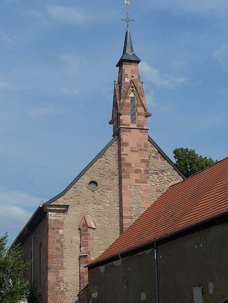
Photo: Immanuel Giel, CC BY-SA 3.0.
St. Remigius (Osthofen) is a church, which is situated 1½ km north of TC-Osthofen.
Places in the Area
Nearby places include Abenheim and Herrnsheim.
Abenheim
Suburb

Photo: Hermann Luyken, CC0.
Abenheim is a suburb, which is situated 3½ km southwest of TC-Osthofen.
Herrnsheim
Suburb

Photo: PQ3, CC BY-SA 3.0.
Herrnsheim is a suburb, which is situated 3½ km south of TC-Osthofen.
Bechtheim
Village

Photo: Symposiarch, CC BY-SA 3.0.
Bechtheim is an Ortsgemeinde – a municipality belonging to a Verbandsgemeinde, a kind of collective municipality – in the Alzey-Worms district in Rhineland-Palatinate, Germany. It belongs to the Verbandsgemeinde of Wonnegau, whose seat is in Osthofen. Bechtheim is situated 4½ km northwest of TC-Osthofen.
TC-Osthofen
- Type: Sports venue
- Categories: recreation area and sports location
- Location: Osthofen, Alzey-Worms, Rhineland-Palatinate, Germany, Central Europe, Europe
- View on OpenStreetMap
Latitude
49.69132° or 49° 41′ 29″ northLongitude
8.32577° or 8° 19′ 33″ eastOpen location code
8FXCM8RG+G8OpenStreetMap ID
way 235611930OpenStreetMap feature
leisure=sports_centre
This page is based on OpenStreetMap, Wikidata, and Wikimedia Commons.
We’d love your help improving our open data sources. Thank you for contributing.
Satellite Map
Discover TC-Osthofen from above in high-definition satellite imagery.
Notable Places Nearby
Highlights include TGO Tennis and Reisemobilstellplatz ‘Am Sommerriedstadion’.
Nearby Places
Explore places such as Parkplatz Tennis and Angelverein Worms.
Rhineland-Palatinate: Must-Visit Destinations
Delve into Mainz, Trier, Koblenz, and Worms.
Curious Sports Venues to Discover
Uncover intriguing sports venues from every corner of the globe.
About Mapcarta. Data © OpenStreetMap contributors and available under the Open Database License". Text is available under the CC BY-SA 4.0 license, except for photos, directions, and the map. Photo: Traveler100, CC BY-SA 3.0.