KA Burg
KA Burg is a wastewater treatment plant in Hannersdorf, Oberwart District, Burgenland. KA Burg is situated nearby to the quarry Steinbruch Burg, as well as near the peak Eisenberg.| Tap on a place to explore it |
Places of Interest Nearby
Highlights include Hügelgräberfeld Bauernwald II and Hügelgräberfeld Bauernwald I.
Hügelgräberfeld Bauernwald II
Archaeological site
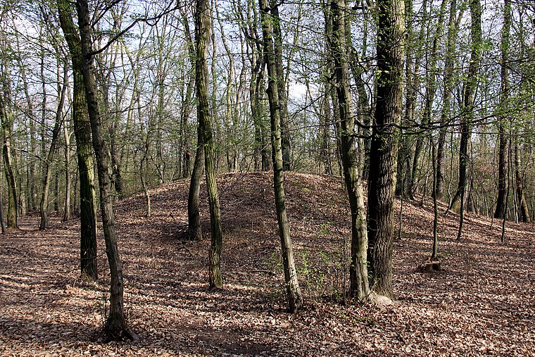
Photo: Steindy, CC BY-SA 4.0.
Hügelgräberfeld Bauernwald II is an archaeological site, which is situated 1½ km northeast of KA Burg.
Hügelgräberfeld Bauernwald I
Archaeological site

Photo: Steindy, CC BY-SA 4.0.
Hügelgräberfeld Bauernwald I is an archaeological site, which is situated 1½ km northeast of KA Burg.
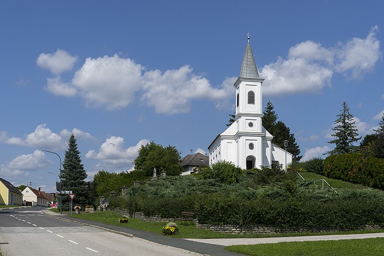
Filialkirche hl. Johannes der Täufer, Woppendorf
Church

Photo: Stefan Fadinger, CC BY-SA 4.0.
Filialkirche hl. Johannes der Täufer, Woppendorf is a church, which is situated 2 km west of KA Burg.
Places in the Area
Nearby places include Burg and Vas-hegy.


KA Burg
- Type: Wastewater treatment plant
- Category: industry
- Location: Hannersdorf, Oberwart District, Burgenland, Austria, Central Europe, Europe
- View on OpenStreetMap
Latitude
47.20466° or 47° 12′ 17″ northLongitude
16.41313° or 16° 24′ 47″ eastOpen location code
8FVR6C37+V7OpenStreetMap ID
way 235857552OpenStreetMap feature
man_made=wastewater_plant
This page is based on OpenStreetMap, Wikidata, and Wikimedia Commons.
We’d love your help improving our open data sources. Thank you for contributing.
Satellite Map
Discover KA Burg from above in high-definition satellite imagery.
Notable Places Nearby
Highlights include Steinbruch Burg and Eisenberg.
Nearby Places
Explore places such as Pegel Burg and Csencsits Buschenschank.
Burgenland: Must-Visit Destinations
Delve into Eisenstadt, Neusiedl am See, Rust, and Güssing.
Curious Wastewater Treatment Plants to Discover
Uncover intriguing wastewater treatment plants from every corner of the globe.
About Mapcarta. Data © OpenStreetMap contributors and available under the Open Database License". Text is available under the CC BY-SA 4.0 license, except for photos, directions, and the map. Photo: Wikimedia, CC BY-SA 4.0.