Nafferton Wold
Nafferton Wold is a farm in Nafferton, East Yorkshire, England. Nafferton Wold is situated nearby to the deciduous forest Primrose Pit Plantation, as well as near the forest Cold Nab Plantation.| Tap on a place to explore it |
Places of Interest Nearby
Highlights include Nafferton railway station and Danes Graves.
Nafferton railway station
Railway station

Photo: Keith D, CC BY-SA 3.0.
Nafferton railway station serves the village of Nafferton in the East Riding of Yorkshire, England. It is located on the Yorkshire Coast Line and is operated by Northern that provides all passenger train services. Nafferton railway station is situated 2 miles south of Nafferton Wold.
Danes Graves
Archaeological site

Photo: John Phillips, CC BY-SA 2.0.
Danes Graves is an archaeological site in the East Riding of Yorkshire. It forms part of the Arras Culture of inhumation and chariot burial prevalent in the region during the British Iron Age. Danes Graves is situated 2 miles northwest of Nafferton Wold.
Church of All Saints
Church
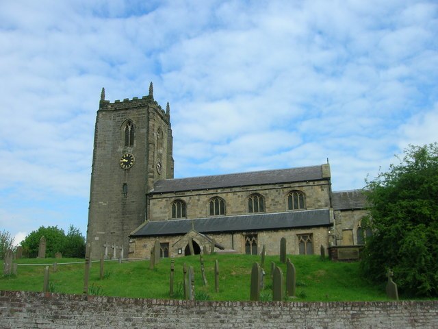
Photo: JThomas, CC BY-SA 2.0.
Church of All Saints is situated 1½ miles south of Nafferton Wold.
Places in the Area
Nearby places include Ruston Parva and Lowthorpe.
Ruston Parva
Village

Photo: Bill Henderson, CC BY-SA 2.0.
Ruston Parva is a hamlet and former civil parish, now in the parish of Harpham, in the East Riding of Yorkshire, England. It is situated approximately 8 miles south-west of Bridlington and lies just north of the A614.
Lowthorpe
Village

Photo: Andy Beecroft, CC BY-SA 2.0.
Lowthorpe is a village and former civil parish, now in the parish of Harpham, in the East Riding of Yorkshire, England. It is situated approximately 3 miles north-east of Driffield town centre and 7 miles south-west of Bridlington town centre. Lowthorpe is situated 2½ miles east of Nafferton Wold.
Driffield
Town

Photo: MortimerCat, CC BY-SA 3.0.
Driffield, also known as Great Driffield, is a market town and civil parish in the East Riding of Yorkshire, England. The civil parish is formed by the town of Driffield and the village of Little Driffield. Driffield is situated 3 miles southwest of Nafferton Wold.
Nafferton Wold
- Type: Farm
- Category: agriculture
- Location: Nafferton, East Yorkshire, Yorkshire, England, United Kingdom, Britain and Ireland, Europe
- View on OpenStreetMap
Latitude
54.03944° or 54° 2′ 22″ northLongitude
-0.40414° or 0° 24′ 15″ westOpen location code
9C6X2HQW+Q8OpenStreetMap ID
way 237671485OpenStreetMap feature
landuse=farmyard
This page is based on OpenStreetMap, Wikidata, and Wikimedia Commons.
We’d love your help improving our open data sources. Thank you for contributing.
Satellite Map
Discover Nafferton Wold from above in high-definition satellite imagery.
Notable Places Nearby
Highlights include Nafferton Wold Quarry and Primrose Pit Plantation.
Nearby Places
Explore places such as Nafferton Grange and The Wold Farm.
East Yorkshire: Must-Visit Destinations
Delve into Kingston upon Hull, Beverley, Bridlington, and Hornsea.
Curious Farms to Discover
Uncover intriguing farms from every corner of the globe.
About Mapcarta. Data © OpenStreetMap contributors and available under the Open Database License". Text is available under the CC BY-SA 4.0 license, except for photos, directions, and the map. Photo: AlasdairW, CC BY-SA 3.0.