Hiper Usera
Hiper Usera is a supermarket in Alcobendas, Madrid, Community of Madrid. Hiper Usera is situated nearby to the college Facultad Protestante de Teología, as well as near the railway station Valdelasfuentes.| Tap on a place to explore it |
Places of Interest Nearby
Highlights include Manuel de Falla and Alcobendas-San Sebastián de los Reyes train station.
Manuel de Falla
Metro station
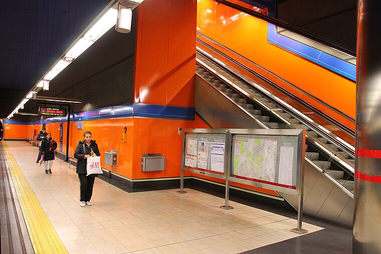
Photo: Draceane, CC BY-SA 4.0.
Manuel de Falla is a station on Line 10 of the Madrid Metro, on the calle de Manuel de Falla, named for the composer and pianist Manuel de Falla. It is located in fare Zone B1. Manuel de Falla is situated 610 metres northeast of Hiper Usera.
Alcobendas-San Sebastián de los Reyes train station
Railway station

Photo: Malopez 21, CC BY-SA 4.0.
Alcobendas-San Sebastián de los Reyes train station is a railway station, which is situated 1½ km east of Hiper Usera.
Marqués de la Valdavia
Metro station

Photo: Draceane, CC BY-SA 4.0.
Marqués de la Valdavia is a station on Line 10 of the Madrid Metro, near the Calle del Marqués de la Valdavia, which was named for the politician Mariano Ossorio Arévalo, 3rd Marquess of Valdivia. It is located in fare Zone B1. Marqués de la Valdavia is situated 1½ km southeast of Hiper Usera.
Places in the Area
Nearby places include San Sebastián de los Reyes and La Moraleja.
San Sebastián de los Reyes
Town
San Sebastián de los Reyes is a municipality in the Community of Madrid, Spain. Founded in 1492, it is located 20 kilometres north of Madrid.
La Moraleja
Suburb
 La Moraleja is an affluent residential district of Alcobendas municipality in northern Community of Madrid, Spain, in the Madrid metropolitan area; located next to El Soto and El Encinar de los Reyes. La Moraleja is situated 4 km southeast of Hiper Usera.
Valverde
Quarter

Photo: Malopez 21, CC BY-SA 4.0.
Valverde is an administrative neighborhood of Madrid belonging to the district of Fuencarral-El Pardo. It has an area of 8.977802 km2. As of 1 March 2020, it has a population of 65,022. Valverde is situated 6 km south of Hiper Usera.
Hiper Usera
- Opening hours: Monday—Saturday 9:00 AM—9:00 PM
- Type: Supermarket
- Categories: building, shop, and food
- Location: Alcobendas, Madrid, Community of Madrid, Central Spain, Spain, Iberia, Europe
- View on OpenStreetMap
Latitude
40.54749° or 40° 32′ 51″ northLongitude
-3.6532° or 3° 39′ 12″ westOpen location code
8CGRG8WW+XPOpenStreetMap ID
way 238335097OpenStreetMap feature
building=supermarketOpenStreetMap feature
shop=supermarket
This page is based on OpenStreetMap, Wikidata, and Wikimedia Commons.
We’d love your help improving our open data sources. Thank you for contributing.
Satellite Map
Discover Hiper Usera from above in high-definition satellite imagery.
Places with the Same Name
Discover other places named “Hiper Usera”.
Notable Places Nearby
Highlights include Facultad Protestante de Teología and Valdelasfuentes.
Nearby Places
Explore places such as ALDI and Valdelasfuentes.
Community of Madrid: Must-Visit Destinations
Delve into Madrid, Alcalá de Henares, Getafe, and Aranjuez.
Curious Supermarkets to Discover
Uncover intriguing supermarkets from every corner of the globe.
About Mapcarta. Data © OpenStreetMap contributors and available under the Open Database License". Text is available under the CC BY-SA 4.0 license, except for photos, directions, and the map. Photo: Asqueladd, CC BY-SA 3.0.