Ditta
Ditta is a fast food restaurant in Birmingham, England which is located on Walford Road. Ditta is situated nearby to the mosque Mohammedi Islamic Centre, as well as near Masjid Umar.| Tap on a place to explore it |
Places of Interest Nearby
Highlights include Small Heath railway station and St Andrew’s.
Small Heath railway station
Railway station

Photo: Michael Westley, CC BY-SA 2.0.
Small Heath railway station serves the areas of Small Heath and Sparkbrook in Birmingham, West Midlands, England. The station is managed by West Midlands Trains, which runs all the services. Small Heath railway station is situated 1,800 feet northeast of Ditta.
St Andrew’s
Stadium

Photo: TuborgLight, CC BY-SA 3.0.
St Andrew's, known since 2024 for sponsorship reasons as St. Andrew's @ Knighthead Park, is an association football stadium in the Bordesley district of Birmingham, England. St Andrew’s is situated 1¼ miles north of Ditta.
Ark Boulton Academy
School
Ark Boulton Academy is a coeducational secondary school located in Sparkhill in the south of Birmingham, England. It was established in 1910 and educates just under 900 pupils. Ark Boulton Academy is situated 1,100 feet southeast of Ditta.
Places in the Area
Nearby places include Sparkhill and Balti Triangle.
Sparkhill
Suburb
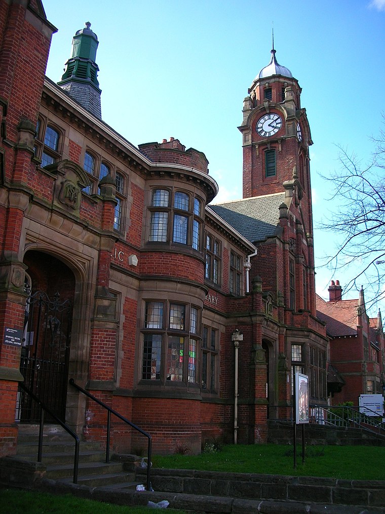
Photo: Oosoom, CC BY-SA 3.0.
Sparkhill is an inner-city area of Birmingham, England, situated between Springfield, Hall Green and Sparkbrook. Historically part of Worcestershire, Sparkhill once existed as a rural area with its main industry being agriculture until the 1880s.
Balti Triangle
Locality
A balti or bāltī gosht is a type of curry served in a thin, pressed-steel wok called a "balti bowl". The name may have come from the metal dish in which the curry is cooked, rather than from any specific ingredient or cooking technique.
Sparkbrook
Village

Photo: Oosoom, CC BY-SA 3.0.
Birmingham, in the West Midlands, is Britain's second-largest city. Known in the Victorian era as the "City of a Thousand Trades" and the "Workshop of the World", Brum, as locals call the city, is enjoying a 21st-century resurgence as a great shopping and cultural destination.
Ditta
- Type: Fast food restaurant
- Address: 169 Walford Road, Birmingham, B11 1QJ
- Categories: building, retail building, food, and restaurant
- Location: Birmingham, England, United Kingdom, Britain and Ireland, Europe
- View on OpenStreetMap
Latitude
52.4595° or 52° 27′ 34″ northLongitude
-1.86367° or 1° 51′ 49″ westOpen location code
9C4WF45P+QGOpenStreetMap ID
way 238840306OpenStreetMap feature
amenity=fast_foodOpenStreetMap feature
building=retail
This page is based on OpenStreetMap, Wikidata, and Wikimedia Commons.
We’d love your help improving our open data sources. Thank you for contributing.
Satellite Map
Discover Ditta from above in high-definition satellite imagery.
Places with the Same Name
Discover other places named “Ditta”.
Notable Places Nearby
Highlights include Mohammedi Islamic Centre and Masjid Umar.
Nearby Places
Explore places such as Khan’s and Sheila’s.
England: Must-Visit Destinations
Delve into London, Manchester, Sheffield, and Leeds.
Curious Fast Food Restaurants to Discover
Uncover intriguing fast food restaurants from every corner of the globe.
About Mapcarta. Data © OpenStreetMap contributors and available under the Open Database License". Text is available under the CC BY-SA 4.0 license, except for photos, directions, and the map. Photo: sidibousaid, CC BY 2.0.