Kurzentrum Soziales Genesungswerk Pelzerhaken
Kurzentrum Soziales Genesungswerk Pelzerhaken is a hospital building in Neustadt in Holstein, Ostholstein, Schleswig-Holstein which is located on Strandallee. Kurzentrum Soziales Genesungswerk Pelzerhaken is situated nearby to the sports venue Hallenbad, as well as near the tourism office Tourismus-Service.| Tap on a place to explore it |
- Email: info@kurzentrum-pelzerhaken.de
- Type: Hospital building
- Address: Strandallee 1-3, Neustadt in Holstein, 23730
Places of Interest Nearby
Highlights include Leuchtturm Pelzerhaken and Ehrenfriedhof Cap Arcona.
Leuchtturm Pelzerhaken
Lighthouse

Photo: Ein Dahmer, CC BY-SA 3.0.
Leuchtturm Pelzerhaken is a lighthouse, which is situated 650 metres southeast of Kurzentrum Soziales Genesungswerk Pelzerhaken.
Ehrenfriedhof Cap Arcona
Cemetery

Photo: Wikimedia, CC BY-SA 3.0.
Ehrenfriedhof Cap Arcona is a cemetery, which is situated 2 km west of Kurzentrum Soziales Genesungswerk Pelzerhaken.
Town hall
Town hall

Photo: Peng, CC BY-SA 3.0.
Town hall is situated 3½ km northwest of Kurzentrum Soziales Genesungswerk Pelzerhaken.
Places in the Area
Nearby places include Pelzerhaken and Neustadt in Holstein.

Neustadt in Holstein
Town

Photo: Peng, CC BY-SA 3.0.
Neustadt in Holstein is a town in the district of Ostholstein, in Schleswig-Holstein, Germany, on the Bay of Lübeck 30 km northeast of Lübeck, and 50 km southeast of Kiel. Neustadt in Holstein is situated 3 km northwest of Kurzentrum Soziales Genesungswerk Pelzerhaken.
Altenkrempe
Village
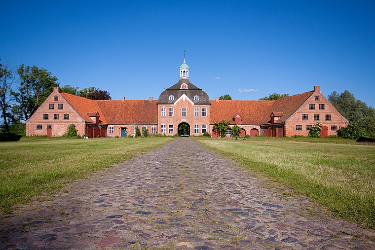
Photo: Sebfoto, CC BY-SA 3.0.
Altenkrempe is a municipality in the district of Ostholstein, in Schleswig-Holstein, Germany. Altenkrempe is situated 5 km northwest of Kurzentrum Soziales Genesungswerk Pelzerhaken.
Kurzentrum Soziales Genesungswerk Pelzerhaken
- Categories: building and health care
- Location: Neustadt in Holstein, Ostholstein, Schleswig-Holstein, Germany, Central Europe, Europe
- View on OpenStreetMap
Latitude
54.09041° or 54° 5′ 26″ northLongitude
10.86129° or 10° 51′ 41″ eastOpen location code
9F6G3VR6+5GOpenStreetMap ID
way 239223698OpenStreetMap feature
building=hospital
This page is based on OpenStreetMap, Wikidata, and Wikimedia Commons.
We’d love your help improving our open data sources. Thank you for contributing.
Satellite Map
Discover Kurzentrum Soziales Genesungswerk Pelzerhaken from above in high-definition satellite imagery.
Notable Places Nearby
Highlights include Hallenbad and Tourismus-Service.
Nearby Places
Explore places such as P11 Wiesenstr. and Mien Backstuuv.
Schleswig-Holstein: Must-Visit Destinations
Delve into Kiel, Lübeck, Flensburg, and Heligoland.
Curious Places to Discover
Uncover intriguing places from every corner of the globe.
About Mapcarta. Data © OpenStreetMap contributors and available under the Open Database License". Text is available under the CC BY-SA 4.0 license, except for photos, directions, and the map. Photo: Ypsilon from Finland, CC0.