Sede de la Empresa Municipal de Transportes de Madrid
Sede de la Empresa Municipal de Transportes de Madrid is a public building in Madrid, Community of Madrid. Sede de la Empresa Municipal de Transportes de Madrid is situated nearby to the public building E.M.T. headquarters, Madrid, as well as near Zona de deportes bajo el puente Pedro Bosch.| Tap on a place to explore it |
Places of Interest Nearby
Highlights include E.M.T. headquarters, Madrid and Pacífico.
E.M.T. headquarters, Madrid
Public building

Photo: Elpalacio, CC BY-SA 3.0.
E.M.T. headquarters, Madrid is a public building.
Pacífico
Metro station
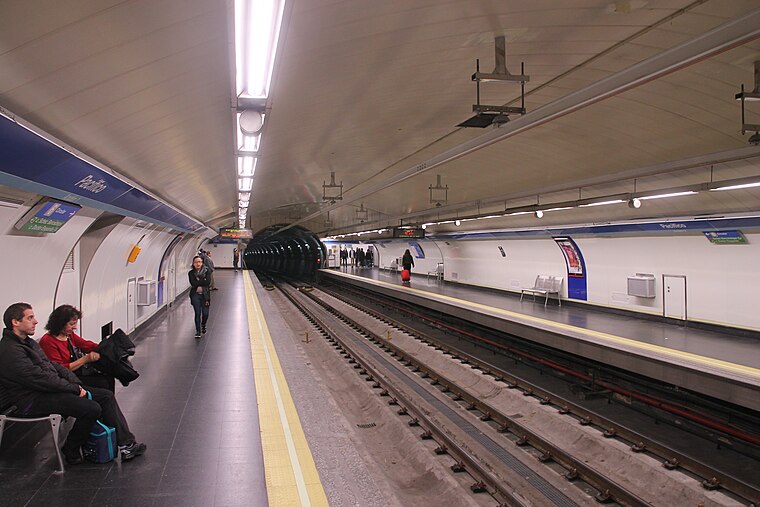
Photo: Draceane, CC BY-SA 4.0.
Pacífico is a station on Line 1 and Line 6 of the Madrid Metro. It is located in Zone A. It has been open to the public since 8 May 1923. On 10 November 1979 it was added to Line 6. Pacífico is situated 130 metres north of Sede de la Empresa Municipal de Transportes de Madrid.
Méndez Álvaro
Railway station

Photo: Draceane, CC BY-SA 4.0.
Méndez Álvaro is a Madrid Metro, Cercanías and international bus station in Madrid city center. It was opened on 7 May 1981 and is near Atocha railway station in fare Zone A. Méndez Álvaro is situated 590 metres southwest of Sede de la Empresa Municipal de Transportes de Madrid.
Places in the Area
Nearby places include Adelfas and Pacífico.
Adelfas
Quarter

Photo: Wikimedia, CC BY-SA 3.0.
Adelfas is an administrative neighborhood in Madrid of the Retiro district. It is located in the extreme south of the district, so it only delimits with 3 of the 5 neighborhoods of the district: Pacífico to the west, Niño Jesús to the east and Estrella to the northeast.
Pacífico
Quarter

Photo: Zaqarbal, CC BY-SA 3.0 es.
Pacífico is an administrative neighborhood of Madrid belonging to the district of Retiro.
Atocha
Quarter
 Atocha is an administrative neighborhood of Madrid belonging to the district of Arganzuela.
Sede de la Empresa Municipal de Transportes de Madrid
- Type: Public building
- Address: Madrid, 28007
- Categories: building and government building
- Location: Madrid, Madrid, Community of Madrid, Central Spain, Spain, Iberia, Europe
- View on OpenStreetMap
Latitude
40.40027° or 40° 24′ 1″ northLongitude
-3.67537° or 3° 40′ 31″ westOpen location code
8CGRC82F+4VOpenStreetMap ID
way 244657877OpenStreetMap feature
building=public
This page is based on OpenStreetMap, Wikidata, and Wikimedia Commons.
We’d love your help improving our open data sources. Thank you for contributing.
Satellite Map
Discover Sede de la Empresa Municipal de Transportes de Madrid from above in high-definition satellite imagery.
Places with the Same Name
Discover other places named “Sede de la Empresa Municipal de Transportes de Madrid”.
Notable Places Nearby
Highlights include Zona de deportes bajo el puente Pedro Bosch and Jardín de Elisa Serna.
Nearby Places
Explore places such as Lost items at EMT buses and Pacífico.
Madrid: Must-Visit Destinations
Delve into Sol-Letras-Lavapiés, Salamanca, Retiro-Paseo del Arte, and Chamberí-Castellana.
Curious Public Buildings to Discover
Uncover intriguing public buildings from every corner of the globe.
About Mapcarta. Data © OpenStreetMap contributors and available under the Open Database License". Text is available under the CC BY-SA 4.0 license, except for photos, directions, and the map. Photo: DonPaolo, CC BY-SA 3.0.