Iglesia María Auxiliadora
Iglesia María Auxiliadora is a church in Sucre Municipality, Miranda which is located on Av. Rómulo Gallegos. Iglesia María Auxiliadora is situated nearby to the post office Tealca, as well as near MRW.| Tap on a place to explore it |
Places of Interest Nearby
Highlights include Los Cortijos station and La Casona.
Los Cortijos station
Metro station

Photo: Kinori, Public domain.
Los Cortijos is a Caracas Metro station on Line 1. It was opened on 10 November 1989 as part of the extension of Line 1 from Los Dos Caminos to Palo Verde. The station is between Los Dos Caminos and La California. Los Cortijos station is situated 510 metres southwest of Iglesia María Auxiliadora.
La Casona
Government office

Photo: The hunter1986, CC BY-SA 4.0.
La Casona is a government office, which is situated 1¼ km southwest of Iglesia María Auxiliadora.
Los Dos Caminos station
Metro station
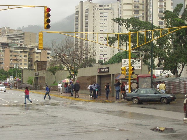
Photo: Kinori, Public domain.
Los Dos Caminos is a Caracas Metro station on Line 1. It was opened on 23 April 1988 as the eastern terminus of the extension of Line 1 from Chacaíto. On 10 November 1989, the line was extended further to Palo Verde. Los Dos Caminos station is situated 1 km west of Iglesia María Auxiliadora.
Places in the Area
Nearby places include Los Palos Grandes and El Cafetal.
Los Palos Grandes
Suburb
 Los Palos Grandes is a residential, tourist and financial district located in the Chacao Municipality in east Caracas, served by the Caracas Metro through the Miranda station of line 1.
El Cafetal
Suburb
El Cafetal is a neighborhood located in the Baruta Municipality of Caracas, Venezuela. El Cafetal is situated 3 km south of Iglesia María Auxiliadora.
Altamira
Suburb
Photo: Kinori, Public domain.
Altamira is a neighborhood located in the Chacao municipality of Caracas, Venezuela. It has its own Metro Station, many hotels and restaurants, and it is an important business and residential center of the city. Altamira is situated 3 km northwest of Iglesia María Auxiliadora.
Iglesia María Auxiliadora
- Type: Church
- Address: Av. Rómulo Gallegos, Caracas, 1071
- Categories: building, place of worship, and religion
- Location: Sucre Municipality, Miranda, Venezuela, South America
- View on OpenStreetMap
Latitude
10.49328° or 10° 29′ 36″ northLongitude
-66.82408° or 66° 49′ 27″ westOpen location code
772MF5VG+89OpenStreetMap ID
way 247070991OpenStreetMap feature
amenity=place_of_worshipOpenStreetMap feature
building=church
This page is based on OpenStreetMap, Wikidata, and Wikimedia Commons.
We’d love your help improving our open data sources. Thank you for contributing.
Satellite Map
Discover Iglesia María Auxiliadora from above in high-definition satellite imagery.
Places with the Same Name
Discover other places named “Iglesia María Auxiliadora”.
Notable Places Nearby
Highlights include Tealca and MRW.
Nearby Places
Explore places such as Centro Gerencial Los Andes and Banco Venezolano de Crédito.
Venezuela: Must-Visit Destinations
Delve into Caracas, Mérida, Maracaibo, and Táchira.
Curious Churches to Discover
Uncover intriguing churches from every corner of the globe.
About Mapcarta. Data © OpenStreetMap contributors and available under the Open Database License". Text is available under the CC BY-SA 4.0 license, except for photos, directions, and the map. Photo: Paolostefano1412, CC BY-SA 3.0.