Freiwillige Feuerwehr Albig
Freiwillige Feuerwehr Albig is a fire station in Albig, Alzey-Worms, Rhineland-Palatinate which is located on Wassergasse. Freiwillige Feuerwehr Albig is situated nearby to the sports venue Gemeindehalle, as well as near the winery Weingut Philipp.| Tap on a place to explore it |
Places of Interest Nearby
Highlights include Evangelische Liebfrauenkirche and Villa Rustica Hammerstein.
Evangelische Liebfrauenkirche
Church

Photo: Wikimedia, CC BY-SA 3.0 de.
Evangelische Liebfrauenkirche is a church, which is situated 280 metres west of Freiwillige Feuerwehr Albig.
Villa Rustica Hammerstein
Archaeological site

Photo: KaCeBe, CC BY-SA 4.0.
Villa Rustica Hammerstein is an archaeological site, which is situated 320 metres south of Freiwillige Feuerwehr Albig.
Turm Auf dem Fels
Scenic viewpoint

Photo: Muck50, CC BY-SA 4.0.
Turm Auf dem Fels is a scenic viewpoint, which is situated 1 km northwest of Freiwillige Feuerwehr Albig.
Places in the Area
Nearby places include Albig and Bermersheim vor der Höhe.
Albig
Village
Albig is an Ortsgemeinde – a municipality belonging to a Verbandsgemeinde, a kind of collective municipality – in Rhenish Hesse in the Alzey-Worms district in Rhineland-Palatinate, Germany.
Bermersheim vor der Höhe
Village
Bermersheim vor der Höhe is an Ortsgemeinde – a municipality belonging to a Verbandsgemeinde, a kind of collective municipality – in the Alzey-Worms district in Rhineland-Palatinate, Germany.
Schafhausen
Village
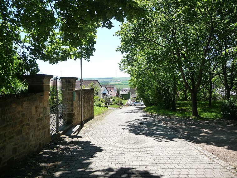
Photo: Immanuel Giel, CC BY-SA 4.0.
Schafhausen is a village, which is situated 2½ km southeast of Freiwillige Feuerwehr Albig.
Freiwillige Feuerwehr Albig
- Type: Fire station
- Address: Wassergasse 2, Albig, 55234
- Category: building
- Location: Albig, Alzey-Worms, Rhineland-Palatinate, Germany, Central Europe, Europe
- View on OpenStreetMap
Latitude
49.77507° or 49° 46′ 30″ northLongitude
8.12514° or 8° 7′ 31″ eastOpen location code
8FXCQ4GG+23OpenStreetMap ID
way 252655904OpenStreetMap feature
amenity=fire_stationOpenStreetMap feature
building=yes
This page is based on OpenStreetMap, Wikidata, and Wikimedia Commons.
We’d love your help improving our open data sources. Thank you for contributing.
Satellite Map
Discover Freiwillige Feuerwehr Albig from above in high-definition satellite imagery.
Notable Places Nearby
Highlights include Gemeindehalle and Weingut Philipp.
Nearby Places
Explore places such as Albig and Holzbau & Bedachungen Gosenheimer.
Rhineland-Palatinate: Must-Visit Destinations
Delve into Mainz, Trier, Koblenz, and Worms.
Curious Fire Stations to Discover
Uncover intriguing fire stations from every corner of the globe.
About Mapcarta. Data © OpenStreetMap contributors and available under the Open Database License". Text is available under the CC BY-SA 4.0 license, except for photos, directions, and the map. Photo: Traveler100, CC BY-SA 3.0.