Le Verger de Wattignies
Le Verger de Wattignies is a greengrocer in Paris, Île-de-France. Le Verger de Wattignies is situated nearby to the church Communauté évangélique Paris Daumesnil, as well as near the bike rental Charenton - Wattignies.| Tap on a place to explore it |
Places of Interest Nearby
Highlights include Accor Arena and Dugommier station.
Accor Arena
Stadium

Photo: Wikimedia, CC BY-SA 2.0.
Accor Arena, also known as Bercy Arena, is an indoor sports arena and concert hall in the neighbourhood of Bercy, on the Boulevard de Bercy, in the 12th arrondissement of Paris, France. Accor Arena is situated 1 km west of Le Verger de Wattignies.
Dugommier station
Metro station
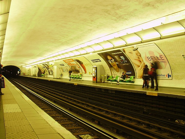
Photo: Geralix, CC BY-SA 3.0.
Dugommier is a station of the Paris Métro on Line 6 in the 12th arrondissement. Dugommier station is situated 280 metres northwest of Le Verger de Wattignies.
Gare de Paris Bercy
Railway station

Photo: Cyril5C, CC BY-SA 4.0.
Gare de Paris Bercy, officially Gare de Paris Bercy Bourgogne – Pays d'Auvergne, is one of the seven mainline railway station terminals in Paris. It handles about 4.3 million passengers annually according to the estimates of the SNCF, making it the least busy mainline station in Paris. Gare de Paris Bercy is situated 720 metres west of Le Verger de Wattignies.
Places in the Area
Nearby places include 12th arrondissement and Bercy.
12th arrondissement

Photo: Mbzt, CC BY-SA 4.0.
The 12th arrondissement of Paris is one of the largest of the city's districts even without the 2,460 acre Bois de Vincennes, which more than doubles its size.
Bercy
Suburb

Photo: Wikimedia, CC BY-SA 3.0.
Bercy is a neighbourhood in the 12th arrondissement of Paris, France, the city's 47th administrative neighbourhood.

Le Verger de Wattignies
- Type: Greengrocer
- Wheelchair access: yes
- Categories: shop and food
- Location: Paris, Île-de-France, France, Europe
- View on OpenStreetMap
Latitude
48.83702° or 48° 50′ 13″ northLongitude
2.39211° or 2° 23′ 32″ eastOpen location code
8FW4R9PR+RROpenStreetMap ID
way 257039236OpenStreetMap feature
shop=greengrocerOpenStreetMap attribute
wheelchair=yes
This page is based on OpenStreetMap, Wikidata, and Wikimedia Commons.
We’d love your help improving our open data sources. Thank you for contributing.
Satellite Map
Discover Le Verger de Wattignies from above in high-definition satellite imagery.
Notable Places Nearby
Highlights include Communauté évangélique Paris Daumesnil and Charenton - Wattignies.
Nearby Places
Explore places such as Arc en ciel and Docteur Patricia Pâme.
Paris: Must-Visit Destinations
Delve into La Défense, 1st arrondissement, 7th arrondissement, and 8th arrondissement.
Curious Greengrocers to Discover
Uncover intriguing greengrocers from every corner of the globe.
About Mapcarta. Data © OpenStreetMap contributors and available under the Open Database License". Text is available under the CC BY-SA 4.0 license, except for photos, directions, and the map. Photo: Benh, CC BY-SA 4.0.