Parque de Manoteras
Parque de Manoteras is a park in Hortaleza, Madrid, Community of Madrid. Parque de Manoteras is situated nearby to the sports venue Rocódromo, as well as near Instalación deportiva municipal Bacares.| Tap on a place to explore it |
Places of Interest Nearby
Highlights include Manoteras and Parroquia de Jesús de Nazaret.
Manoteras
Metro station

Photo: Malopez 21, CC BY-SA 4.0.
Manoteras is a station on Line 4 of the Madrid Metro. It is located in fare Zone A. It was named after the Manoteras neighbourhood. Manoteras is situated 110 metres southwest of Parque de Manoteras.
Parroquia de Jesús de Nazaret
Church

Photo: MdeVicente, CC BY-SA 4.0.
Parroquia de Jesús de Nazaret is a church, which is situated 230 metres east of Parque de Manoteras.
Pinar de Chamartín
Metro station
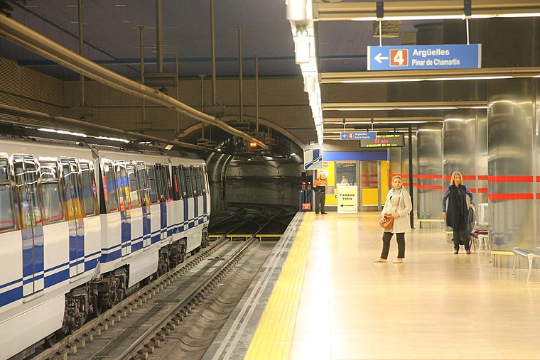
Photo: Draceane, CC BY-SA 4.0.
Pinar de Chamartín is a station on the Madrid Metro, opened to the public on 4 November, 2007. It is located in fare Zone A and serves the area of Pinar de Chamartín. Pinar de Chamartín is situated 570 metres northwest of Parque de Manoteras.
Places in the Area
Nearby places include Costillares and Manoteras.
Costillares
Quarter

Photo: Ricardo Ricote Rodríguez, CC BY 2.0.
Costillares, also known as Pinar de Chamartín, is a neighborhood part of the Ciudad Lineal district, in north Madrid, Spain.
Manoteras
Neighborhood
Manoteras is an area of northern Madrid in Spain. It belongs to the district of Hortaleza and the administrative district of Apóstol Santiago. It is situated between the residential areas of Pinar de Chamartin, El Bosque and Sanchinarro.
Castilla
Quarter

Photo: Ricardo Ricote Rodrí…, CC BY 3.0.
Castilla is an administrative neighborhood of Madrid belonging to the district of Chamartín.
Parque de Manoteras
- Type: Park
- Category: recreation area
- Location: Hortaleza, Madrid, Madrid, Community of Madrid, Central Spain, Spain, Iberia, Europe
- View on OpenStreetMap
Latitude
40.47714° or 40° 28′ 38″ northLongitude
-3.66147° or 3° 39′ 41″ westOpen location code
8CGRF8GQ+VCOpenStreetMap ID
way 26138003OpenStreetMap feature
leisure=park
This page is based on OpenStreetMap, Wikidata, and Wikimedia Commons.
We’d love your help improving our open data sources. Thank you for contributing.
Satellite Map
Discover Parque de Manoteras from above in high-definition satellite imagery.
Notable Places Nearby
Highlights include Rocódromo and Parque de Manoteras.
Nearby Places
Explore places such as Cantón de Limpieza and Manoteras.
Madrid: Must-Visit Destinations
Delve into Sol-Letras-Lavapiés, Salamanca, Retiro-Paseo del Arte, and Chamberí-Castellana.
Curious Parks to Discover
Uncover intriguing parks from every corner of the globe.
About Mapcarta. Data © OpenStreetMap contributors and available under the Open Database License". Text is available under the CC BY-SA 4.0 license, except for photos, directions, and the map. Photo: DonPaolo, CC BY-SA 3.0.