Everest Secretarial Services
Everest Secretarial Services is a house in Bristol, England which is located on Cheltenham Road. Everest Secretarial Services is situated nearby to Montpelier High School, as well as near Zetland Evangelical Church.| Tap on a place to explore it |
Places of Interest Nearby
Highlights include Montpelier railway station and Polish Church of Our Lady of Ostrobrama.
Montpelier railway station
Railway station

Photo: Mattbuck, CC BY-SA 3.0.
Montpelier railway station is on the Severn Beach Line and serves the district of Montpelier in Bristol, England. It is 2.85 miles from Bristol Temple Meads. Montpelier railway station is situated 860 feet east of Everest Secretarial Services.
Polish Church of Our Lady of Ostrobrama
Church

Photo: Sharon Loxton, CC BY-SA 2.0.
Our Lady of Ostrobrama, formerly Arley Chapel, is a mid-19th-century church on Arley Hill, Cotham, Bristol, England. Built in 1855 as a Congregational chapel to designs by Foster & Wood, it has been the principal Polish Roman Catholic church in Southwest England since 1968, and is a Grade II listed building. Polish Church of Our Lady of Ostrobrama is situated 820 feet south of Everest Secretarial Services.
Montpelier High School
School

Photo: Steinsky, CC BY-SA 3.0.
Montpelier High School is a girls secondary Academy, located in the Montpelier area of Bristol, England. The school building was designed by William Venn Gough and dates from 1891. Montpelier High School is situated 450 feet southeast of Everest Secretarial Services.
Places in the Area
Nearby places include Cotham and Redland.
Cotham
Suburb
Cotham is an area of Bristol, England, about one mile north of the city centre. It is an affluent, leafy, inner city suburb situated north of the neighbourhoods of Kingsdown and St Paul’s.
Redland
Suburb
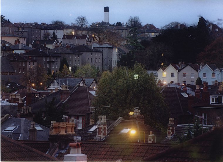
Photo: Wikimedia, CC BY-SA 3.0.
Redland is a neighbourhood in Bristol, England. The neighbourhood is situated between Clifton, Cotham, Bishopston and Westbury Park. The boundaries of the district are not precisely defined, but are generally taken to be Whiteladies Road in the west, the Severn Beach railway line in the south and Cranbrook Road in the east.
St Pauls
Suburb
St Pauls is an inner suburb of Bristol, England, lying just northeast of the city centre and west of the M32. It is bounded by the A38, the B4051, the A4032 and the A4044, although the River Frome was traditionally the eastern boundary before the A4032 was constructed.
Everest Secretarial Services
- Type: House
- Address: 195 Cheltenham Road
- Categories: building, office, and residential building
- Location: Bristol, England, United Kingdom, Britain and Ireland, Europe
- View on OpenStreetMap
Latitude
51.46821° or 51° 28′ 6″ northLongitude
-2.59245° or 2° 35′ 33″ westOpen location code
9C3VFC95+72OpenStreetMap ID
way 267330963OpenStreetMap feature
building=houseOpenStreetMap feature
office=yes
This page is based on OpenStreetMap, Wikidata, and Wikimedia Commons.
We’d love your help improving our open data sources. Thank you for contributing.
Satellite Map
Discover Everest Secretarial Services from above in high-definition satellite imagery.
Notable Places Nearby
Highlights include Zetland Evangelical Church and Cornerstone Church.
Nearby Places
Explore places such as Replay and Montpelier High School.
England: Must-Visit Destinations
Delve into London, Manchester, Sheffield, and Leeds.
Curious Houses to Discover
Uncover intriguing houses from every corner of the globe.
About Mapcarta. Data © OpenStreetMap contributors and available under the Open Database License". Text is available under the CC BY-SA 4.0 license, except for photos, directions, and the map. Photo: sidibousaid, CC BY 2.0.