Nagelschmiedsbergschule (Teil RS +)
Nagelschmiedsbergschule (Teil RS +) is a school in Pirmasens, Palatinate, Rhineland-Palatinate which is located on Nagelschmiedsbergtreppe. Nagelschmiedsbergschule (Teil RS +) is situated nearby to Zion’s church in Pirmasens, as well as near the church Lutherkirche in Pirmasens.| Tap on a place to explore it |
Places of Interest Nearby
Highlights include Zion’s church in Pirmasens and Lutherkirche in Pirmasens.
Zion’s church in Pirmasens
Church

Photo: Gerd Eichmann, CC BY-SA 3.0.
Zion’s church in Pirmasens is situated 120 metres north of Nagelschmiedsbergschule (Teil RS +).
Lutherkirche in Pirmasens
Church

Photo: Wikimedia, CC BY-SA 2.5.
Lutherkirche in Pirmasens is a church, which is situated 220 metres northwest of Nagelschmiedsbergschule (Teil RS +).
Festhalle Pirmasens
Theater building
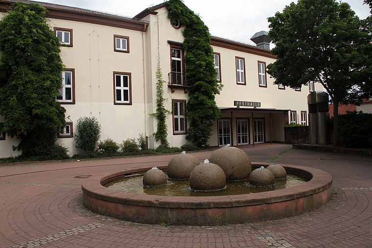
Photo: Gerd Eichmann, CC BY-SA 3.0.
Festhalle Pirmasens is a theater building, which is situated 480 metres southeast of Nagelschmiedsbergschule (Teil RS +).
Places in the Area
Nearby places include Niedersimten and Winzeln.
Niedersimten
Suburb

Photo: Gerd Eichmann, CC BY-SA 4.0.
Niedersimten is a suburb, which is situated 2½ km south of Nagelschmiedsbergschule (Teil RS +).
Winzeln
Suburb

Photo: Gerd Eichmann, CC BY-SA 4.0.
Winzeln is a suburb, which is situated 3 km west of Nagelschmiedsbergschule (Teil RS +).
Gersbach
Suburb

Photo: Gerd Eichmann, CC BY-SA 4.0.
Gersbach is a suburb, which is situated 3½ km west of Nagelschmiedsbergschule (Teil RS +).
Nagelschmiedsbergschule (Teil RS +)
- Type: School
- Address: Nagelschmiedsbergtreppe 8, Pirmasens, 66953
- Categories: building, school building, and education
- Location: Pirmasens, Palatinate, Rhineland-Palatinate, Germany, Central Europe, Europe
- View on OpenStreetMap
Latitude
49.19732° or 49° 11′ 50″ northLongitude
7.60771° or 7° 36′ 28″ eastOpen location code
8FX95JW5+W3OpenStreetMap ID
way 270462964OpenStreetMap feature
amenity=schoolOpenStreetMap feature
building=school
This page is based on OpenStreetMap, Wikidata, and Wikimedia Commons.
We’d love your help improving our open data sources. Thank you for contributing.
Satellite Map
Discover Nagelschmiedsbergschule (Teil RS +) from above in high-definition satellite imagery.
Notable Places Nearby
Highlights include Schusterbrunnen and Hauptstraße.
Nearby Places
Explore places such as Mokka and Pirmasens Nagelschmiedsberg.
Palatinate: Must-Visit Destinations
Delve into Ludwigshafen, Speyer, Kaiserslautern, and Landau in der Pfalz.
Curious Places to Discover
Uncover intriguing places from every corner of the globe.
About Mapcarta. Data © OpenStreetMap contributors and available under the Open Database License". Text is available under the CC BY-SA 4.0 license, except for photos, directions, and the map. Photo: Wikimedia, CC0.