IBM Klub Mainz e.V.
IBM Klub Mainz e.V. is a sports venue in Ingelheim, Mainz-Bingen, Rhineland-Palatinate. IBM Klub Mainz e.V. is situated nearby to the village Uhlerborn, as well as near Kartbahn A60 Heidesheim GmbH & Co. KG.| Tap on a place to explore it |
Places of Interest Nearby
Highlights include Höllenberg and Hangflächen südöstlich Heidesheim.

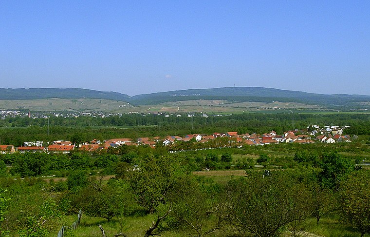
Hangflächen südöstlich Heidesheim
Nature reserve
 Hangflächen südöstlich Heidesheim is a nature reserve.
St. Georg
Chapel

Photo: Hagen Graebner, CC BY 3.0.
St. Georg is a chapel, which is situated 2 km west of IBM Klub Mainz e.V..
Places in the Area
Nearby places include Uhlerborn and Heidesheim am Rhein.
Heidesheim am Rhein
Village
Heidesheim am Rhein is an Ortsbezirk of the town Ingelheim am Rhein in the Mainz-Bingen district in Rhineland-Palatinate, Germany. Before July 2019, it was a separate municipality belonging to the former Verbandsgemeinde Heidesheim am Rhein, of which it was the administrative seat.
Budenheim
Village
Budenheim is a municipality in the Mainz-Bingen district in Rhineland-Palatinate, Germany. Unlike other municipalities in Mainz-Bingen, it does not belong to any association of municipalities. Budenheim is situated 3 km northeast of IBM Klub Mainz e.V..
IBM Klub Mainz e.V.
- Type: Sports venue
- Categories: recreation area and sports location
- Location: Ingelheim, Mainz-Bingen, Rhenish Hesse, Rhineland-Palatinate, Germany, Central Europe, Europe
- View on OpenStreetMap
Latitude
50.00262° or 50° 0′ 9″ northLongitude
8.14341° or 8° 8′ 36″ eastOpen location code
9F2C243V+29OpenStreetMap ID
way 27096934OpenStreetMap feature
leisure=sports_centreOpenStreetMap feature
sport=multi
This page is based on OpenStreetMap, Wikidata, and Wikimedia Commons.
We’d love your help improving our open data sources. Thank you for contributing.
Satellite Map
Discover IBM Klub Mainz e.V. from above in high-definition satellite imagery.
Notable Places Nearby
Highlights include Abenteuerspielplatz Uhlerborn and Reitsportanlage Uhlerborn.
Nearby Places
Explore places such as IBM-Club and Lennebergstraße.
Rhenish Hesse: Must-Visit Destinations
Delve into Mainz, Worms, Bingen, and Oppenheim.
Curious Sports Venues to Discover
Uncover intriguing sports venues from every corner of the globe.
About Mapcarta. Data © OpenStreetMap contributors and available under the Open Database License". Text is available under the CC BY-SA 4.0 license, except for photos, directions, and the map. Photo: qwesy qwesy, CC BY 3.0.