Bruijd van Haerlem
Bruijd van Haerlem is a building in North Holland, Western Netherlands. Bruijd van Haerlem is situated nearby to the playground Speeltuin de Lakens, as well as near the lake Spartelmeer.| Tap on a place to explore it |
Places of Interest Nearby
Highlights include Zuid-Kennemerland National Park and Wethouder van Gelukpark.
Zuid-Kennemerland National Park
 Zuid-Kennemerland National Park is a national park in North Holland in the Netherlands.
Wethouder van Gelukpark
Park
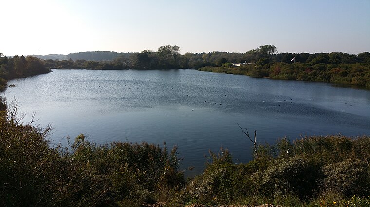
Photo: Timboliu, CC BY-SA 4.0.
Wethouder van Gelukpark is situated 1¼ km southeast of Bruijd van Haerlem.
Erebegraafplaats Bloemendaal
Cemetery
 The Erebegraafplaats Bloemendaal, or Dutch Honorary Cemetery Bloemendaal, is a World War II final resting place in Zuid-Kennemerland National Park in Bloemendaal, Netherlands. Erebegraafplaats Bloemendaal is situated 1½ km southeast of Bruijd van Haerlem.
Places in the Area
Nearby places include Afgang Parnassia and Bloemendaal aan Zee.

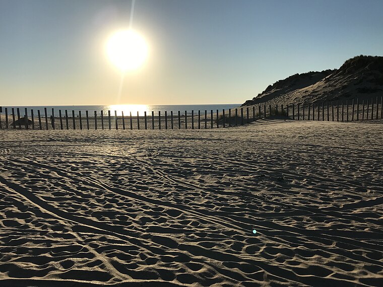
Bloemendaal aan Zee
Hamlet

Photo: NoobX, CC BY-SA 3.0.
Bloemendaal aan Zee is a seaside resort and neighbourhood in the municipality Bloemendaal, in North Holland province, the Netherlands. It is between the beaches of IJmuiden to the north and Zandvoort to the south and surrounded by the dunes of the Zuid-Kennemerland National Park.
Bruijd van Haerlem
- Type: Building
- Wheelchair access: yes
- Location: North Holland, Western Netherlands, Netherlands, Benelux, Europe
- View on OpenStreetMap
Latitude
52.40867° or 52° 24′ 31″ northLongitude
4.55796° or 4° 33′ 29″ eastInception
1997Open location code
9F46CH55+F5OpenStreetMap ID
way 271062263OpenStreetMap feature
amenity=toiletsOpenStreetMap feature
building=yesOpenStreetMap attribute
wheelchair=yes
This page is based on OpenStreetMap, Wikidata, and Wikimedia Commons.
We’d love your help improving our open data sources. Thank you for contributing.
Satellite Map
Discover Bruijd van Haerlem from above in high-definition satellite imagery.
Notable Places Nearby
Highlights include Speeltuin de Lakens and Spartelmeer.
Nearby Places
Explore places such as Camping de Lakens and Duijnpieper.
North Holland: Must-Visit Destinations
Delve into Amsterdam, Haarlem, Alkmaar, and Schiphol Airport.
Curious Buildings to Discover
Uncover intriguing buildings from every corner of the globe.
About Mapcarta. Data © OpenStreetMap contributors and available under the Open Database License". Text is available under the CC BY-SA 4.0 license, except for photos, directions, and the map. Photo: Arch, Public domain.