overslaghal
overslaghal is a building in West Betuwe, Gelderland. overslaghal is situated nearby to the power station Zonnepark Avri, as well as near the community center MCC Geldermalsen.| Tap on a place to explore it |
Places of Interest Nearby
Highlights include Bethelkerk and Poldermolen.
Bethelkerk
Church
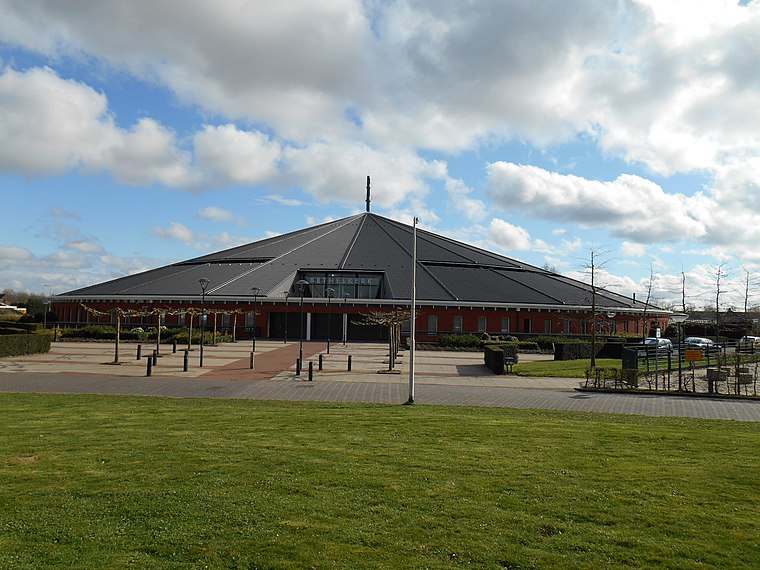
Photo: Ouddorp, CC BY-SA 3.0.
Bethelkerk is a church, which is situated 3 km west of overslaghal.
Poldermolen
Windmill

Photo: Quistnix, CC BY-SA 2.5.
Poldermolen is a windmill, which is situated 2 km southeast of overslaghal.

Places in the Area
Nearby places include Est and Rivierenland.
Est
Village
Est is a village in the Dutch province of Gelderland. It is a part of the municipality of West Betuwe, and lies about 8 km west of Tiel. It was first mentioned in 1316 as Est.
Rivierenland
Rivierenland, also known as the Betuwe, is a region in Gelderland. The Betuwe is known for its fruit farms and blossom trees. Tiel is the population center, with Geldermalsen and Culemborg making up the other larger towns in the region.Geldermalsen
Town
Geldermalsen is a town and former municipality in the province of Gelderland in the Netherlands. Geldermalsen is situated 3 km west of overslaghal.
overslaghal
- Type: Building
- Location: West Betuwe, Gelderland, Eastern Netherlands, Netherlands, Benelux, Europe
- View on OpenStreetMap
Latitude
51.86966° or 51° 52′ 11″ northLongitude
5.32795° or 5° 19′ 41″ eastInception
1995Open location code
9F37V89H+V5OpenStreetMap ID
way 275053673OpenStreetMap feature
building=yes
This page is based on OpenStreetMap, Wikidata, and Wikimedia Commons.
We’d love your help improving our open data sources. Thank you for contributing.
Satellite Map
Discover overslaghal from above in high-definition satellite imagery.
Notable Places Nearby
Highlights include Zonnepark Avri and MCC Geldermalsen.
Nearby Places
Explore places such as Milieustraat Avri and Grondstoffenpark Rivierenland (Avri).
Gelderland: Must-Visit Destinations
Delve into Arnhem, Nijmegen, Apeldoorn, and Ede.
Curious Buildings to Discover
Uncover intriguing buildings from every corner of the globe.
About Mapcarta. Data © OpenStreetMap contributors and available under the Open Database License". Text is available under the CC BY-SA 4.0 license, except for photos, directions, and the map. Photo: Agnes Monkelbaan, CC BY-SA 4.0.