Rozettahoeve
Rozettahoeve is a house in Groningen, Northern Netherlands. Rozettahoeve is situated nearby to the town Zuidhorn, as well as near the village Briltil.| Tap on a place to explore it |
Places of Interest Nearby
Highlights include Zuidhorn railway station and Huis Bijma.
Zuidhorn railway station
Railway station

Photo: Eriksw, CC BY-SA 4.0.
Zuidhorn is a railway station located in Zuidhorn in the Netherlands. The station was opened on 1 June 1866 and is located on the Harlingen–Nieuweschans railway between Leeuwarden and Groningen. The train service is operated by Arriva. Zuidhorn railway station is situated 1½ km north of Rozettahoeve.
Huis Bijma
Archaeological site

Photo: Wikimedia, Public domain.
Huis Bijma is an archaeological site, which is situated 2½ km west of Rozettahoeve.
Bert Swartbrug
Bridge

Photo: Dickelbers, CC BY-SA 3.0.
Bert Swartbrug is a bridge, which is situated 2½ km northwest of Rozettahoeve.
Places in the Area
Nearby places include Zuidhorn and Briltil.
Zuidhorn
Town
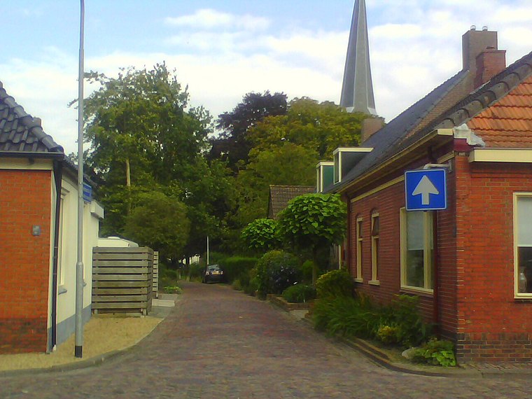
Photo: Hardscarf, CC BY-SA 4.0.
Zuidhorn is a town and former municipality in the northeastern Netherlands. The town largely depends on the city of Groningen. A railway line, operated by Arriva, connects the town with Leeuwarden in Friesland and Groningen.
Briltil
Village
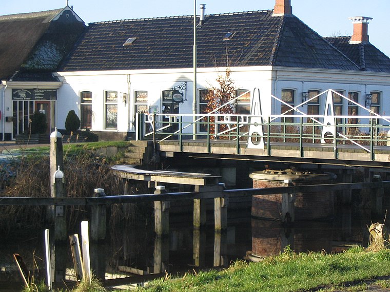
Photo: Gklinkenberg, CC BY-SA 3.0.
Briltil is a village in the municipality of Westerkwartier in the province of Groningen in the Netherlands, founded around 1600. The name of the village comes from a drawbridge over the Hoendiep to the region of the Bril northwest of the bridge.
Den Horn
Village
Den Horn is a small village in the municipality of Westerkwartier in the province of Groningen in the Netherlands. The village is quite isolated in the east of the municipality, just south of the railway line between Groningen and Leeuwarden.
Rozettahoeve
- Type: House
- Categories: building and residential building
- Location: Groningen, Northern Netherlands, Netherlands, Benelux, Europe
- View on OpenStreetMap
Latitude
53.2341° or 53° 14′ 3″ northLongitude
6.41472° or 6° 24′ 53″ eastInception
2000Open location code
9F586CM7+JVOpenStreetMap ID
way 278936579OpenStreetMap feature
building=house
This page is based on OpenStreetMap, Wikidata, and Wikimedia Commons.
We’d love your help improving our open data sources. Thank you for contributing.
Satellite Map
Discover Rozettahoeve from above in high-definition satellite imagery.
Notable Places Nearby
Highlights include Sebastiaan/Fabius and Wilhelminaplantsoen.
Nearby Places
Explore places such as De Opstal and In ‘t Holt 1654.
Groningen: Must-Visit Destinations
Delve into Groningen, Delfzijl, Appingedam, and Oldambt.
Curious Houses to Discover
Uncover intriguing houses from every corner of the globe.
About Mapcarta. Data © OpenStreetMap contributors and available under the Open Database License". Text is available under the CC BY-SA 4.0 license, except for photos, directions, and the map. Photo: WiDi, CC BY-SA 3.0.