ehemaliger Bahnhof Pöppendorf
ehemaliger Bahnhof Pöppendorf is a building in Lübeck, Hansestadt, Lübeck, Schleswig-Holstein. ehemaliger Bahnhof Pöppendorf is situated nearby to the fire station Freiwilige Feuerwehr Ivendorf, as well as near Feuer- und Rettungswache 3 Lübeck.| Tap on a place to explore it |
Places of Interest Nearby
Highlights include Skandinavienkai and Pöppendorfer Ringwall.
Skandinavienkai
Harbor

Photo: Godewind, CC BY-SA 2.0 de.
Skandinavienkai is one of the five terminals in the Port of Lübeck. The terminal is located in Travemünde, along the river Trave, and is operated by Lübecker Hafen-Gesellschaft. Skandinavienkai is situated 1¼ km northeast of ehemaliger Bahnhof Pöppendorf.
Pöppendorfer Ringwall
Archaeological site

Photo: Genet, CC BY-SA 3.0.
Pöppendorfer Ringwall is an archaeological site, which is situated 2 km west of ehemaliger Bahnhof Pöppendorf.
Dummersdorfer Ufer
Nature reserve
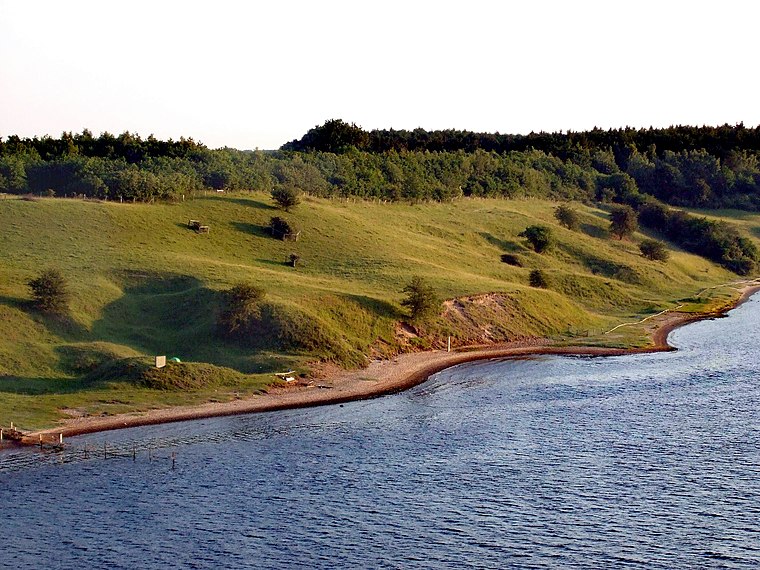
Photo: Gklug, CC BY-SA 3.0.
Dummersdorfer Ufer is a nature reserve, which is situated 2 km south of ehemaliger Bahnhof Pöppendorf.
Places in the Area
Nearby places include Priwall Peninsula and Travemünde.
Priwall Peninsula
Village
The Priwall Peninsula is a spit located across from the town of Travemünde at the Trave River estuary, on Germany's Baltic Sea coast. Since 1226 it has been administratively part of Travemünde, itself controlled by Lübeck. Priwall Peninsula is situated 4 km northeast of ehemaliger Bahnhof Pöppendorf.
Travemünde

Photo: Niels Heidenreich, CC BY-SA 2.0.
Travemünde is the closest of the boroughs of Lübeck to the Baltic Sea. As the name suggests, it is at the mouth of the river Trave. For hundreds of years, Travemünde has been a popular seaside resort and harbour on the German Baltic coast of Schleswig-Holstein.
Herrenwyk
Suburb

Photo: 1970gemini, CC BY 4.0.
Herrenwyk is a suburb, which is situated 4½ km southwest of ehemaliger Bahnhof Pöppendorf.
ehemaliger Bahnhof Pöppendorf
- Type: Building
- Category: historic site
- Location: Lübeck, Hansestadt, Lübeck, East Holstein, Schleswig-Holstein, Germany, Central Europe, Europe
- View on OpenStreetMap
Latitude
53.9346° or 53° 56′ 5″ northLongitude
10.83949° or 10° 50′ 22″ eastOpen location code
9F5GWRMQ+RQOpenStreetMap ID
way 281884278OpenStreetMap feature
building=yesOpenStreetMap feature
historic=railway_station
This page is based on OpenStreetMap, Wikidata, and Wikimedia Commons.
We’d love your help improving our open data sources. Thank you for contributing.
Satellite Map
Discover ehemaliger Bahnhof Pöppendorf from above in high-definition satellite imagery.
Notable Places Nearby
Highlights include Freiwilige Feuerwehr Ivendorf and Feuer- und Rettungswache 3 Lübeck.
Nearby Places
Explore places such as Ivendorfer Landstraße and Ivendorfer Landstraße.
East Holstein: Must-Visit Destinations
Delve into Fehmarn, Ratzeburg, Timmendorfer Strand, and Grömitz.
Curious Buildings to Discover
Uncover intriguing buildings from every corner of the globe.
About Mapcarta. Data © OpenStreetMap contributors and available under the Open Database License". Text is available under the CC BY-SA 4.0 license, except for photos, directions, and the map. Photo: Wikimedia, CC0.