Parque de Valdeserrano
Parque de Valdeserrano is a forest in Fuenlabrada, Madrid, Community of Madrid. Parque de Valdeserrano is situated nearby to the locality Valdeserranos, as well as near La Estrada.| Tap on a place to explore it |
Places of Interest
Highlights include Polideportivo Fernando Martín and Parque de los Estados.
Polideportivo Fernando Martín
Stadium

Photo: Asturkian, CC BY-SA 3.0.
Pabellón Polideportivo Municipal Fernando Martin is an arena in Fuenlabrada, Madrid Province, Spain. Opened in September 1991, and named for the Spanish basketball player Fernando Martín Espina, the arena has a seating capacity for 5,700 people.
Parque de los Estados
Metro station

Photo: Malopez 21, CC BY-SA 4.0.
Parque de los Estados is a station on Line 12 of the Madrid Metro, named for the nearby park. It is located in fare Zone B2.
Parque Europa
Metro station

Photo: Malopez 21, CC BY-SA 4.0.
Parque Europa is a station on Line 12 of the Madrid Metro, named for the nearby Parque Europa. It is located in fare Zone B2.
Places in the Area
Nearby places include Getafe and Humanes de Madrid.
Getafe

Photo: Riozujar, CC BY-SA 4.0.
Getafe is a city of 181,000 people just south of Madrid. It is home to the Getafe Air Base, one of the oldest Spanish military air bases, and to the main campus of the Charles III University of Madrid.
Humanes de Madrid
Town
 Humanes de Madrid is a town and municipality of Spain, part of the Community of Madrid. As of 2019, it has a population of 19,743 inhabitants.
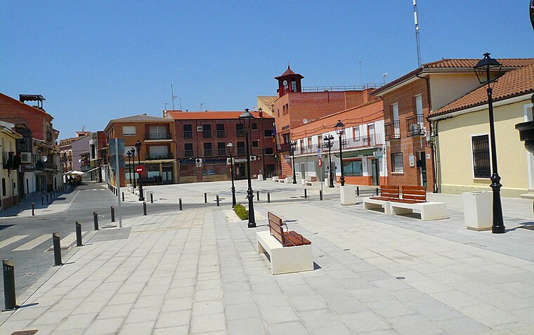
Moraleja de Enmedio
Village

Photo: Wikimedia, CC BY 3.0 es.
Moraleja de Enmedio is a municipality of the Community of Madrid, Spain.
Parque de Valdeserrano
- Type: Forest
- Category: meadow
- Location: Fuenlabrada, Madrid, Community of Madrid, Central Spain, Spain, Iberia, Europe
- View on OpenStreetMap
Latitude
40.2675° or 40° 16′ 3″ northLongitude
-3.793° or 3° 47′ 35″ westOpen location code
8CGR7694+2ROpenStreetMap ID
way 288194870OpenStreetMap feature
landuse=meadowOpenStreetMap feature
natural=wood
This page is based on OpenStreetMap, Wikidata, and Wikimedia Commons.
We’d love your help improving our open data sources. Thank you for contributing.
Satellite Map
Discover Parque de Valdeserrano from above in high-definition satellite imagery.
Localities in the Area
Explore places such as Valdeserranos and La Estrada.
Notable Places Nearby
Highlights include Campo de Fútbol El Arroyo and Campos Municipales de Petanca.
Community of Madrid: Must-Visit Destinations
Delve into Madrid, Alcalá de Henares, Getafe, and Aranjuez.
Curious Forests to Discover
Uncover intriguing forests from every corner of the globe.
About Mapcarta. Data © OpenStreetMap contributors and available under the Open Database License". Text is available under the CC BY-SA 4.0 license, except for photos, directions, and the map. Photo: Wikimedia, CC0.