Lorenkampmühle Scholz
Lorenkampmühle Scholz is a supermarket in Haltern am See, Recklinghausen, North Rhine-Westphalia which is located on Lorenkamp. Lorenkampmühle Scholz is situated nearby to the railway station Haltern am See station, as well as near Bahnhof Haltern am See.| Tap on a place to explore it |
- Opening hours:
Monday—Friday: 7:30 AM—6:00 PM
Saturday: 7:30 AM—2:00 PM - Email: kontakt@bioladen-haltern.de
- Type: Supermarket
- Address: Lorenkamp 9, Haltern am See, 45721
Places of Interest Nearby
Highlights include Haltern am See station and Katharinen-Kapelle.
Haltern am See station
Railway station
 Haltern am See station is a station in the town of Haltern am See in the German state of North Rhine-Westphalia on Wanne-Eickel–Hamburg railway from Wanne-Eickel to Hamburg. Haltern am See station is situated 350 metres north of Lorenkampmühle Scholz.
Katharinen-Kapelle
Church

Photo: JosefLehmkuhl, Public domain.
Katharinen-Kapelle is a church, which is situated 650 metres southeast of Lorenkampmühle Scholz.
Westfälisches Römermuseum Haltern
Museum
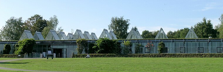
Photo: JosefLehmkuhl, Public domain.
Westfälisches Römermuseum Haltern is situated 1¼ km northwest of Lorenkampmühle Scholz.
Places in the Area
Nearby places include Hamm-Bossendorf and Pilgrimage area of Annaberg (Haltern am See).

Pilgrimage area of Annaberg (Haltern am See)
Locality

Photo: Wikimedia, CC BY-SA 4.0.
Pilgrimage area of Annaberg (Haltern am See) is a locality.
Flaesheim
Village

Photo: JosefLehmkuhl, Public domain.
Flaesheim is a village, which is situated 3½ km southeast of Lorenkampmühle Scholz.
Lorenkampmühle Scholz
- Categories: building, shop, and food
- Location: Haltern am See, Recklinghausen, Münster, Münsterland, North Rhine-Westphalia, Germany, Central Europe, Europe
- View on OpenStreetMap
Latitude
51.73386° or 51° 44′ 2″ northLongitude
7.18394° or 7° 11′ 2″ eastOpen location code
9F39P5MM+GHOpenStreetMap ID
way 288354104OpenStreetMap feature
building=yesOpenStreetMap feature
shop=supermarket
This page is based on OpenStreetMap, Wikidata, and Wikimedia Commons.
We’d love your help improving our open data sources. Thank you for contributing.
Satellite Map
Discover Lorenkampmühle Scholz from above in high-definition satellite imagery.
Notable Places Nearby
Highlights include Roost-Warendin-Platz and Bahnhof Haltern am See.
Nearby Places
Explore places such as Schmitz-Linneweber GmbH & Co. KG and Scheideler Versorgungstechnik.
Münsterland: Must-Visit Destinations
Delve into Münster, Bocholt, Dülmen, and Rheine.
Curious Supermarkets to Discover
Uncover intriguing supermarkets from every corner of the globe.
About Mapcarta. Data © OpenStreetMap contributors and available under the Open Database License". Text is available under the CC BY-SA 4.0 license, except for photos, directions, and the map. Photo: Wikimedia, CC0.