Bryn y Gaer
Bryn y Gaer is a forest in Hope, Flintshire, Wales. Bryn y Gaer is situated nearby to the village Caergwrle, as well as near Abermorddu.| Tap on a place to explore it |
Places of Interest
Highlights include Cefn-y-Bedd railway station and Caergwrle railway station.
Cefn-y-Bedd railway station
Railway station

Photo: David Quinn, CC BY-SA 2.0.
Cefn-y-bedd railway station serves the village of Cefn-y-bedd in Flintshire, Wales. The station is 4 miles north of Wrexham Central on the Borderlands Line.
Caergwrle railway station
Railway station

Photo: David Quinn, CC BY-SA 2.0.
Caergwrle railway station serves the village of Caergwrle in Flintshire, Wales. The station is 4¾ miles north of Wrexham Central on the Borderlands Line.
Hope railway station
Railway station

Photo: David Quinn, CC BY-SA 2.0.
Hope railway station serves the village of Hope in Flintshire, Wales. The station is 5+1⁄4 miles north of Wrexham Central on the Borderlands Line. The name of the station in Welsh is Yr Hôb.
Places in the Area
Nearby places include Brymbo and Hope.
Brymbo
Village

Photo: Eirian Evans, CC BY-SA 2.0.
Brymbo is a village and community in Wrexham County Borough, Wales. It lies in the hilly country to the west of Wrexham city, largely surrounded by farmland.
Hope
Village

Photo: David Long, CC BY-SA 2.0.
Hope is a small village and community in Flintshire, north-east Wales. The village is located approximately 3 miles from the Wales-England border, on the course of the River Alyn, and less than 5 miles from Wrexham.
Gwersyllt
Village
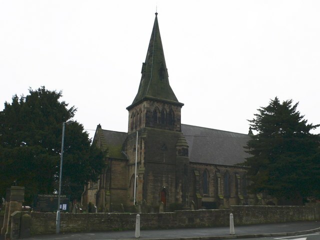
Photo: Eirian Evans, CC BY-SA 2.0.
Gwersyllt is an urban village and community in Wrexham County Borough, Wales. The densely populated village is one of Wrexham's largest and is situated in the north western suburbs of the city, bordering the nearby villages of Llay, Cefn-y-Bedd, Brynteg, and Pentre Broughton.
Bryn y Gaer
- Type: Forest
- Location: Hope, Flintshire, Wales, United Kingdom, Britain and Ireland, Europe
- View on OpenStreetMap
Latitude
53.1102° or 53° 6′ 37″ northLongitude
-3.0261° or 3° 1′ 34″ westOpen location code
9C5R4X6F+3GOpenStreetMap ID
way 291249541OpenStreetMap feature
natural=wood
This page is based on OpenStreetMap, Wikidata, and Wikimedia Commons.
We’d love your help improving our open data sources. Thank you for contributing.
Satellite Map
Discover Bryn y Gaer from above in high-definition satellite imagery.
Localities in the Area
Explore places such as Caergwrle and Abermorddu.
Notable Places Nearby
Highlights include Caer Estyn and Caer Estyn Hillfort.
Wales: Must-Visit Destinations
Delve into Cardiff, Swansea, Newport, and Llanfairpwllgwyngyll.
Curious Forests to Discover
Uncover intriguing forests from every corner of the globe.
About Mapcarta. Data © OpenStreetMap contributors and available under the Open Database License". Text is available under the CC BY-SA 4.0 license, except for photos, directions, and the map. Photo: Wikimedia, CC0.