Diamond St. Playground
Diamond St. Playground is a park in City of Providence, Providence County, Rhode Island. Diamond St. Playground is situated nearby to Saint Charles Church, as well as near the historic building Cranston Street Armory.| Tap on a place to explore it |
Places of Interest Nearby
Highlights include Cranston Street Armory and Poirier’s Diner.
Cranston Street Armory
Historic building

Photo: Wikimedia, Public domain.
The Cranston Street Armory is an historic building in the Broadway–Armory Historic District of Providence, Rhode Island. It was built in 1907 at a cost of $650,000.00. Cranston Street Armory is situated 640 feet north of Diamond St. Playground.
Poirier’s Diner
Restaurant
 West Side Diner, formerly Poirier's Diner, is a historic restaurant at 1380 Westminster Street in Providence, Rhode Island. Poirier’s Diner is situated 2,100 feet north of Diamond St. Playground.
Columbus Theatre
Theater building

Photo: Kzirkel, CC BY-SA 4.0.
Columbus Theatre is a theater building, which is situated 3,500 feet north of Diamond St. Playground.
Places in the Area
Nearby places include Bridgham–Arch–Wilson Streets Historic District and Wesleyan Avenue Historic District.
Bridgham–Arch–Wilson Streets Historic District
Neighborhood
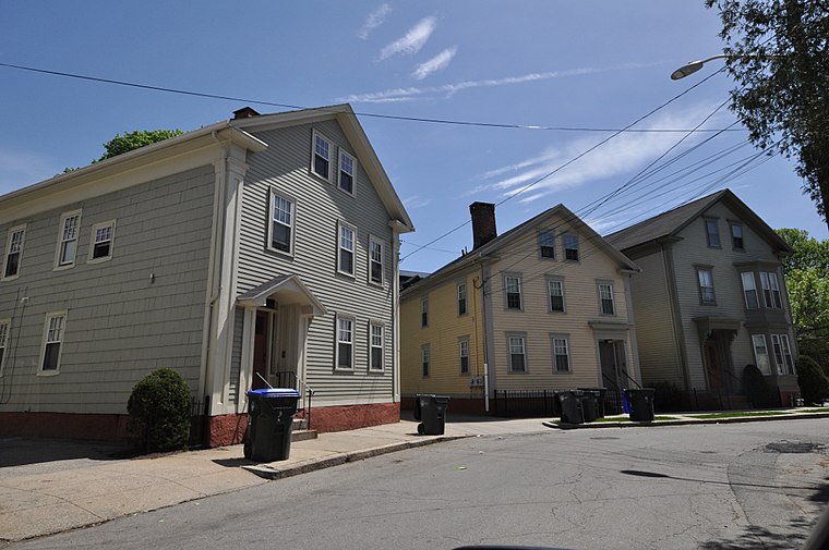
Photo: Magicpiano, CC BY-SA 4.0.
The Bridgham–Arch–Wilson Streets Historic District is a predominantly residential historic district in Providence, Rhode Island. It is located southwest of downtown Providence, and was developed beginning in the 1840s as a suburban part of the city.
Wesleyan Avenue Historic District
Neighborhood

Photo: Ipoellet, CC BY-SA 4.0.
The Wesleyan Avenue Historic District is a residential historic district in the Elmwood section of Providence, Rhode Island. It includes 25 houses, on a one-block section of Wesleyan Avenue between Taylor and Broad Streets, with a few of them on the two end streets.
Federal Hill
 Federal Hill is a district in Providence, located just west of the downtown area of the city. Federal Hill is one of the finest areas in Providence during the day, but really shines at night.
Diamond St. Playground
- Type: Park
- Category: recreation area
- Location: City of Providence, Providence County, Rhode Island, New England, United States, North America
- View on OpenStreetMap
Latitude
41.81098° or 41° 48′ 40″ northLongitude
-71.42962° or 71° 25′ 47″ westOpen location code
87HCRH6C+95OpenStreetMap ID
way 295607523OpenStreetMap feature
leisure=park
This page is based on OpenStreetMap, Wikidata, and Wikimedia Commons.
We’d love your help improving our open data sources. Thank you for contributing.
Satellite Map
Discover Diamond St. Playground from above in high-definition satellite imagery.
Notable Places Nearby
Highlights include Saint Charles Church and Ebenezer Baptist Church.
Nearby Places
Explore places such as West Elmwood Housing Development Corporation and Cranston & Parade (after Parade).
Providence County: Must-Visit Destinations
Delve into Providence, Pawtucket, Cranston, and Woonsocket.
Curious Parks to Discover
Uncover intriguing parks from every corner of the globe.
About Mapcarta. Data © OpenStreetMap contributors and available under the Open Database License". Text is available under the CC BY-SA 4.0 license, except for photos, directions, and the map. Photo: Wikimedia, CC0.