Kallang park connector
Kallang park connector is a park in Singapore. Kallang park connector is situated nearby to the sports venue Kolam Ayer Kayaking Centre, as well as near The River Vista Community Garden.| Tap on a place to explore it |
Places of Interest Nearby
Highlights include Elim Church Singapore and Boon Keng MRT station.
Elim Church Singapore
Church
 Elim Church or Elim Church Assembly of God is one of the first Pentecostal churches to be established in Singapore. Founded in 1928, it is the first and oldest Assemblies of God church in the city-state. Elim Church Singapore is situated 470 metres northwest of Kallang park connector.
Boon Keng MRT station
Metro station

Photo: Wikimedia, CC BY-SA 2.5.
Boon Keng MRT station is an underground Mass Rapid Transit station on the North East line in Kallang, Singapore. Located underneath Serangoon Road just after the traffic junction with Towner Road and Boon Keng Road, Boon Keng station primarily serves the Boon Keng subzone and more importantly the residents residing in the area. Boon Keng MRT station is situated 650 metres west of Kallang park connector.
Jalan Besar Stadium
Stadium
 Jalan Besar Stadium, officially the Jalan Besar ActiveSG Stadium, is a football stadium located in Kallang, Singapore. The stadium is part of the Jalan Besar Sports and Recreation Centre, a community sports facility. Jalan Besar Stadium is situated 1½ km southwest of Kallang park connector.
Places in the Area
Nearby places include Bendemeer and Kallang.
Bendemeer
Suburb
Bendemeer is a subzone within the planning area of Kallang, Singapore, as defined by the Urban Redevelopment Authority. Its boundary is made up of the Pan Island Expressway in the north; Serangoon Road, the Kallang River, Sungei Whampoa, and Bendemeer Road in the east; Lavender Street and Balestier Road in the south; and the Central Expressway in the west.
Kallang
Suburb
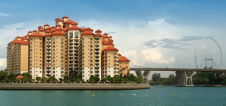
Photo: Wikimedia, CC BY-SA 2.0.
Kallang is a planning area and residential zone located in the Central Region of Singapore. Development of the town is centered around the Kallang River, the longest river in Singapore.
Whampoa
Suburb
Whampoa is a housing estate located in the subzone of Balestier, which is a part of Novena planning area in Singapore, as defined by the Urban Redevelopment Authority.
Kallang park connector
- Opening hours: 24/7
- Type: Park
- Category: recreation area
- Location: Singapore, Southeast Asia, Asia
- View on OpenStreetMap
Latitude
1.32089° or 1° 19′ 15″ northLongitude
103.86717° or 103° 52′ 2″ eastOpen location code
6PH58VC8+9VOpenStreetMap ID
node 8482680637OpenStreetMap feature
leisure=park
This page is based on OpenStreetMap, Wikidata, and Wikimedia Commons.
We’d love your help improving our open data sources. Thank you for contributing.
Satellite Map
Discover Kallang park connector from above in high-definition satellite imagery.
In Other Languages
“Kallang park connector” goes by many names.
- Chinese: “加冷公园连道”
Places with the Same Name
Discover other places named “Kallang park connector”.
Notable Places Nearby
Highlights include Kallang Park Connector and Kolam Ayer Kayaking Centre.
Nearby Places
Explore places such as The River Vista and Bendemeer Court.
Singapore: Must-Visit Destinations
Delve into Singapore Changi Airport, Sentosa and Harbourfront, North and West, and Riverside.
Curious Parks to Discover
Uncover intriguing parks from every corner of the globe.
About Mapcarta. Data © OpenStreetMap contributors and available under the Open Database License". Text is available under the CC BY-SA 4.0 license, except for photos, directions, and the map. Photo: Khairul Nizam, CC BY 2.0.