Von-Weise-Haus
Von-Weise-Haus is a residential building in Unkel, Neuwied, Rhineland-Palatinate which is located on Sebastianstraße. Von-Weise-Haus is situated nearby to the community center Bürgerhaus Heister, as well as near the church St. Sebastian (Heister).| Tap on a place to explore it |
Places of Interest Nearby
Highlights include St. Sebastian (Heister) and Stux.


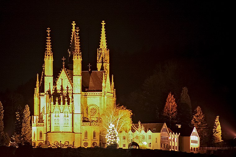
Apollinariskirche
Church
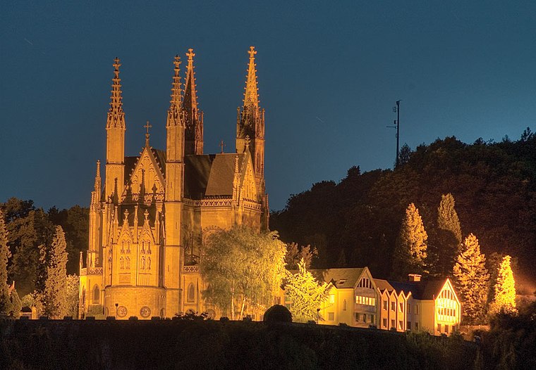
Photo: IllusionFactory, CC BY-SA 3.0.
The Apollinariskirche is a church on the site of a Roman temple on the Apollinarisberg, a hill above the German town of Remagen. That hill was known as the Martinsberg in the 5th and 6th centuries, presumably after a Frankish chapel there dedicated to Saint Martin, patron of the Franks. Apollinariskirche is situated 1¼ km south of Von-Weise-Haus.
Places in the Area
Nearby places include Orsberg and Erpel.

Erpel
Village

Photo: Steffen 962, CC BY-SA 4.0.
Erpel is a municipality in the district of Neuwied, in Rhineland-Palatinate, Germany.
Remagen
 Remagen is a small town in Rhineland Palatinate which was propelled to world fame during World War II when a railway bridge the Wehrmacht had only managed to partially destroy fell into American hands and allowed the Western Allies to cross the Rhine into the German heartland.
Von-Weise-Haus
- Type: Residential building
- Address: Sebastianstraße 41, Heister, Unkel, 53572
- Categories: building, historic site, and historic building
- Location: Unkel, Neuwied, Rhineland-Palatinate, Germany, Central Europe, Europe
- View on OpenStreetMap
Latitude
50.59087° or 50° 35′ 27″ northLongitude
7.22588° or 7° 13′ 33″ eastInception
1598Open location code
9F29H6RG+89OpenStreetMap ID
way 298275805OpenStreetMap feature
building=residentialOpenStreetMap feature
historic=building
This page is based on OpenStreetMap, Wikidata, and Wikimedia Commons.
We’d love your help improving our open data sources. Thank you for contributing.
Satellite Map
Discover Von-Weise-Haus from above in high-definition satellite imagery.
Notable Places Nearby
Highlights include Bürgerhaus Heister and Hundeauslaufplatz.
Nearby Places
Explore places such as Auf dem Sand and Sebastianstraße.
Rhineland-Palatinate: Must-Visit Destinations
Delve into Mainz, Trier, Koblenz, and Worms.
Curious Residential Buildings to Discover
Uncover intriguing residential buildings from every corner of the globe.
About Mapcarta. Data © OpenStreetMap contributors and available under the Open Database License". Text is available under the CC BY-SA 4.0 license, except for photos, directions, and the map. Photo: Traveler100, CC BY-SA 3.0.