Hartley Brook
Hartley Brook is a residential area in Meltham, Kirklees, England. Hartley Brook is situated nearby to Holy Trinity Church, as well as near the village South Crosland.| Tap on a place to explore it |
Places of Interest Nearby
Highlights include Christ Church and Berry Brow railway station.
Berry Brow railway station
Railway station

Photo: Wikimedia, CC BY-SA 3.0.
Berry Brow railway station serves the Huddersfield suburban villages of Berry Brow, Taylor Hill, Armitage Bridge and Newsome in the metropolitan borough of Kirklees in West Yorkshire. Berry Brow railway station is situated 1½ miles northeast of Hartley Brook.
Netherton Infant and Nursery School
School

Photo: Betty Longbottom, CC BY-SA 2.0.
Netherton Infant and Nursery School is situated 1 mile northeast of Hartley Brook.
Places in the Area
Nearby places include South Crosland and Netherton.
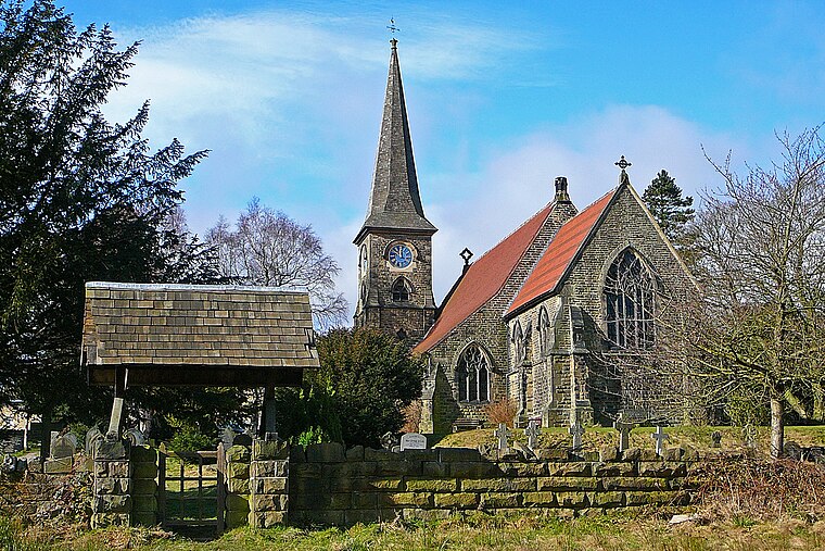
South Crosland
Village
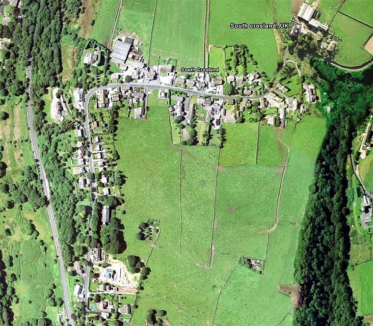
Photo: Wikimedia, Public domain.
South Crosland is a village in the metropolitan borough of Kirklees in West Yorkshire, England.
Netherton
Village

Photo: Humphrey Bolton, CC BY-SA 2.0.
Netherton is a village, near Huddersfield, in the Kirklees metropolitan borough of West Yorkshire, England. It is 2 miles south-west of the town centre on the road to Meltham.
Helme
Hamlet
Helme is a village in the civil parish of Meltham, in the Kirklees district, in the county of West Yorkshire, England. It is near the town of Meltham and Blackmoorfoot Reservoir. Helme, constituted in 1858, was part of Almondbury parish in the 19th century.
Hartley Brook
- Type: Residential area
- Location: Meltham, Kirklees, England, United Kingdom, Britain and Ireland, Europe
- View on OpenStreetMap
Latitude
53.60679° or 53° 36′ 24″ northLongitude
-1.82493° or 1° 49′ 30″ westOpen location code
9C5WJ54G+P2OpenStreetMap ID
way 300722854OpenStreetMap feature
landuse=residential
This page is based on OpenStreetMap, Wikidata, and Wikimedia Commons.
We’d love your help improving our open data sources. Thank you for contributing.
Satellite Map
Discover Hartley Brook from above in high-definition satellite imagery.
Places with the Same Name
Discover other places named “Hartley Brook”.
Notable Places Nearby
Highlights include Holy Trinity Church and Dean Wood.
Nearby Places
Explore places such as Huddersfield Road Croslands Factory Lane and Huddersfield Road Crosland Factory Lane.
England: Must-Visit Destinations
Delve into London, Manchester, Sheffield, and Leeds.
Curious Residential Areas to Discover
Uncover intriguing residential areas from every corner of the globe.
About Mapcarta. Data © OpenStreetMap contributors and available under the Open Database License". Text is available under the CC BY-SA 4.0 license, except for photos, directions, and the map. Photo: sidibousaid, CC BY 2.0.