Centro de Gestión de Residuos Gudalquivir II
Centro de Gestión de Residuos Gudalquivir II is a transfer station in Bollullos de la Mitación, Seville, Andalusia which is located on A-8052. Centro de Gestión de Residuos Gudalquivir II is situated nearby to the pitch Estadio Municipal de Fútbol San Martín, as well as near the park Piscina Municipal.| Tap on a place to explore it |
Places in the Area
Nearby places include Almensilla and Umbrete.
Almensilla
Village

Photo: CarlosVdeHabsburgo, CC BY-SA 4.0.
Almensilla is a municipality in Seville, Spain. In 2005 it had a population of 4,534. It has an area of 14 km2 and a population density of 324. It is at an altitude of 45 meters and is located 15 kilometers from Seville. Almensilla is situated 3 km southeast of Centro de Gestión de Residuos Gudalquivir II.
Umbrete
Village
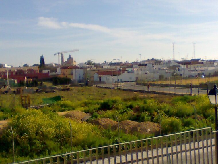
Photo: Frobles, CC BY-SA 4.0.
Umbrete is a city located in the province of Seville, Spain. According to the 2005 census, the city has a population of 5,797 inhabitants. Umbrete is situated 5 km northwest of Centro de Gestión de Residuos Gudalquivir II.
Espartinas
Village

Photo: Jasev, CC BY-SA 3.0 es.
Espartinas is a city located in the province of Seville, Spain. According to the 2019 census, the city has a population of 15,791 inhabitants. It has been twinned with Clackmannanshire, Scotland since 2006. Espartinas is situated 6 km north of Centro de Gestión de Residuos Gudalquivir II.
Centro de Gestión de Residuos Gudalquivir II
- Type: Transfer station
- Address: A-8052, Bollullos de la Mitación
- Category: industry
- Location: Bollullos de la Mitación, Seville, Andalusia, Spain, Iberia, Europe
- View on OpenStreetMap
Latitude
37.33116° or 37° 19′ 52″ northLongitude
-6.13135° or 6° 7′ 53″ westOperator
Abonos Orgánicos Sevilla, S.A.Open location code
8C9M8VJ9+FFOpenStreetMap ID
way 303554865OpenStreetMap feature
amenity=waste_transfer_station
This page is based on OpenStreetMap, Wikidata, and Wikimedia Commons.
We’d love your help improving our open data sources. Thank you for contributing.
Satellite Map
Discover Centro de Gestión de Residuos Gudalquivir II from above in high-definition satellite imagery.
Notable Places Nearby
Highlights include Estadio Municipal de Fútbol San Martín and Piscina Municipal.
Nearby Places
Explore places such as Mas and Feliz Shopping.
Seville: Must-Visit Destinations
Delve into Seville, Santiponce, and Sierra Norte.
Curious Transfer Stations to Discover
Uncover intriguing transfer stations from every corner of the globe.
About Mapcarta. Data © OpenStreetMap contributors and available under the Open Database License". Text is available under the CC BY-SA 4.0 license, except for photos, directions, and the map. Photo: Wikimedia, CC0.